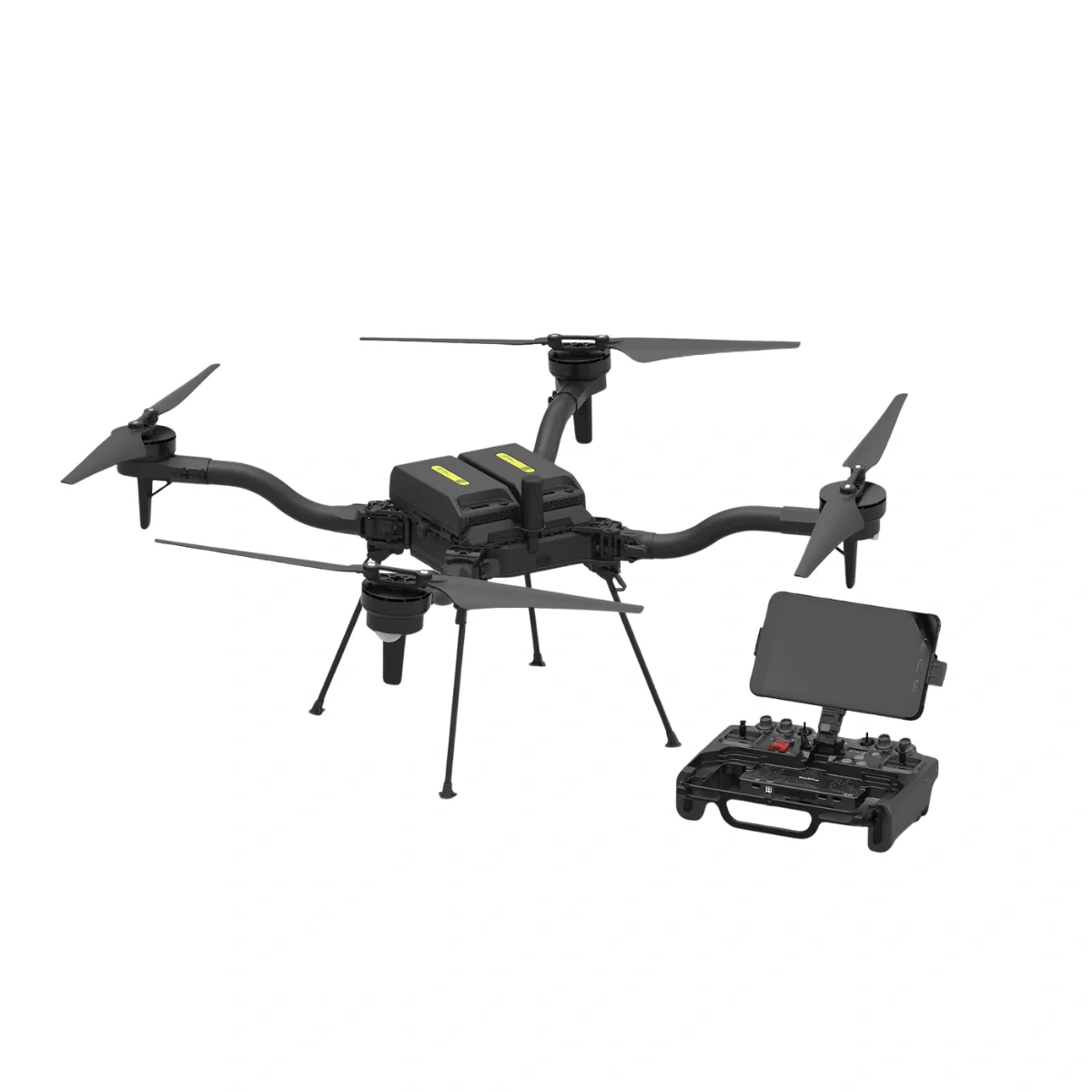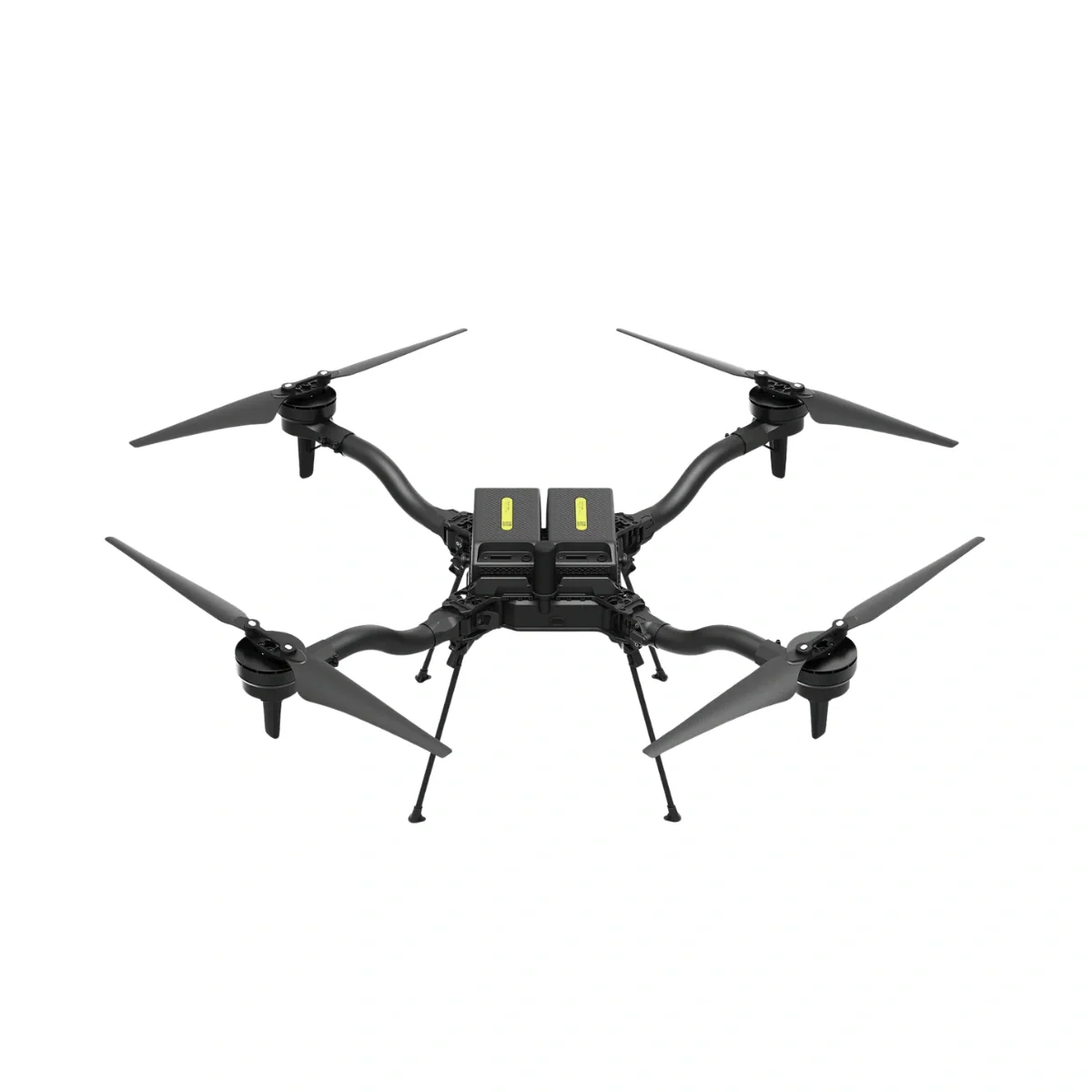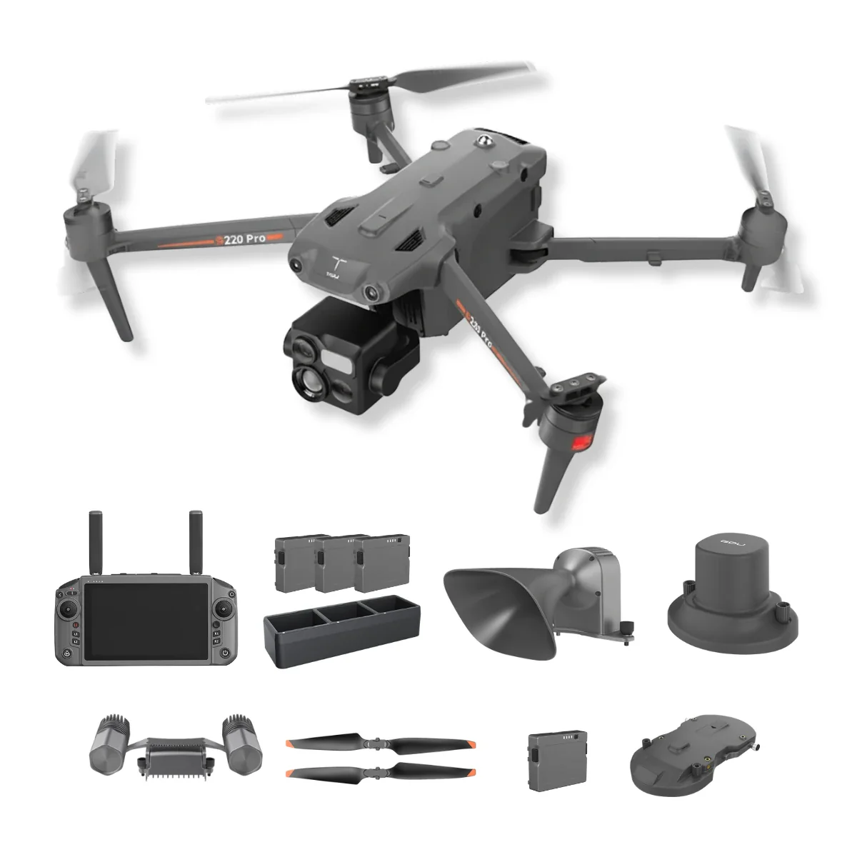
GDU S220 Pro 1K Version Public Safety Bundle
Integrated Aerial System for Multi-Layer Situational Awareness and Response
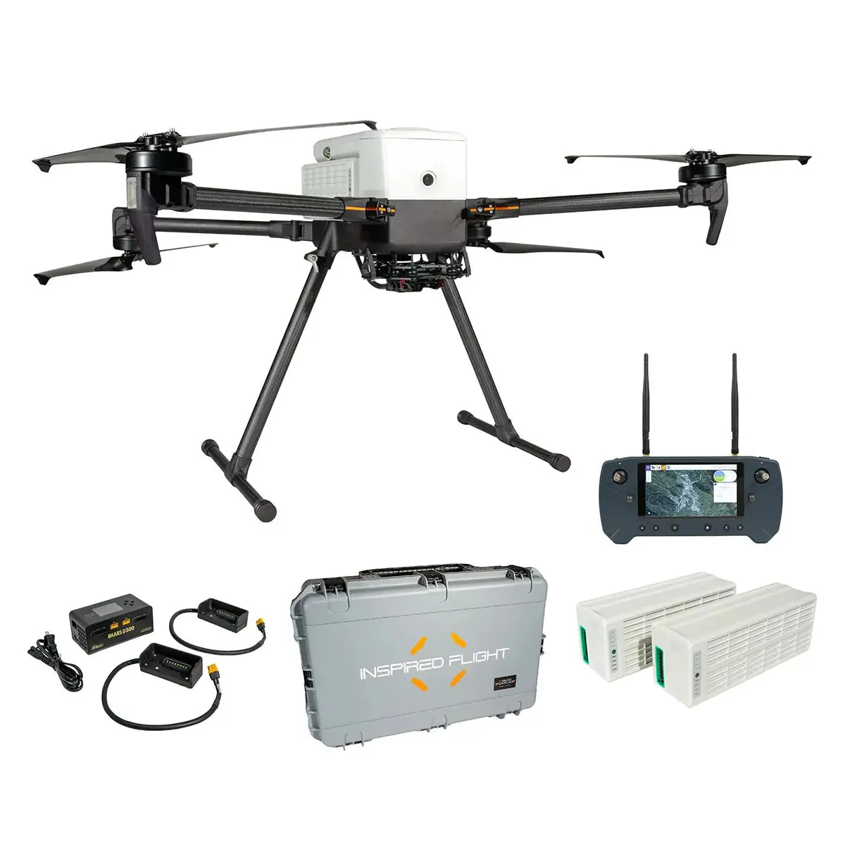
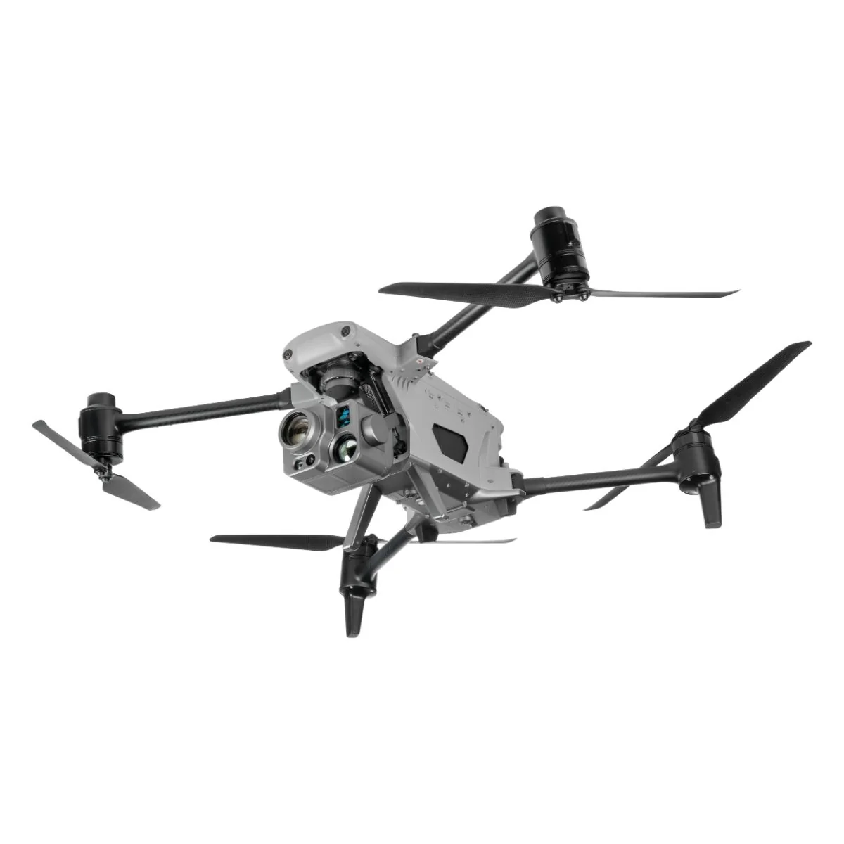
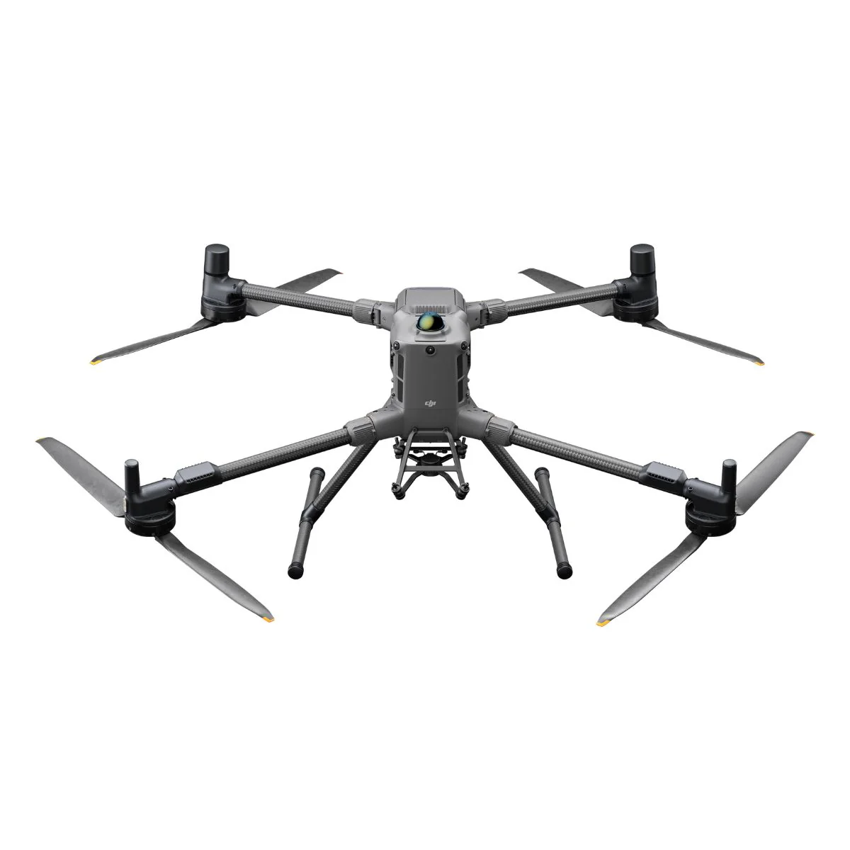
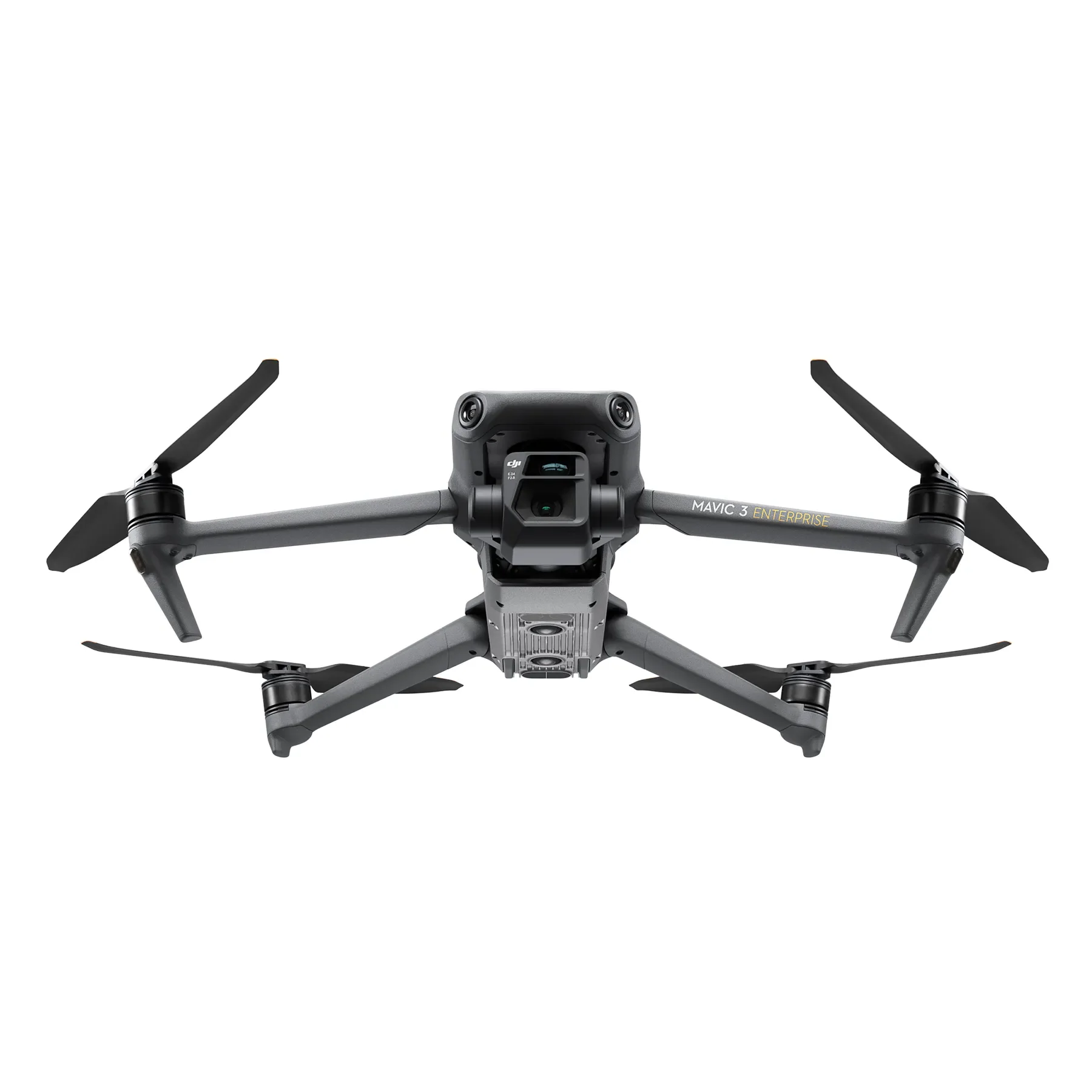
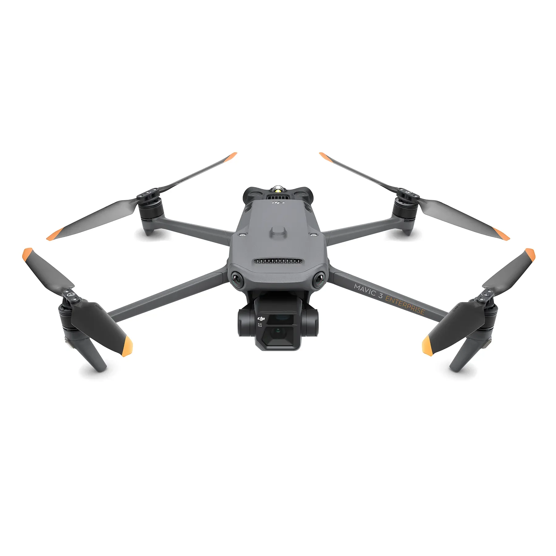
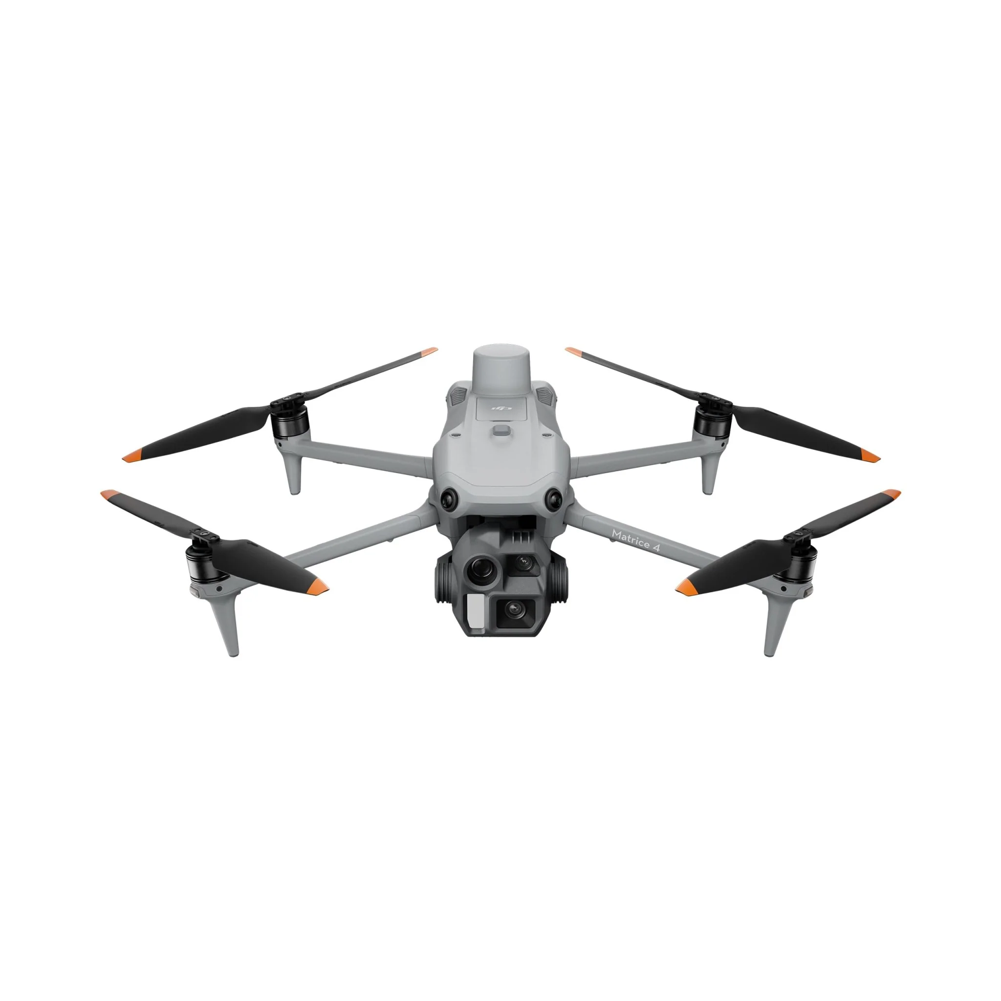
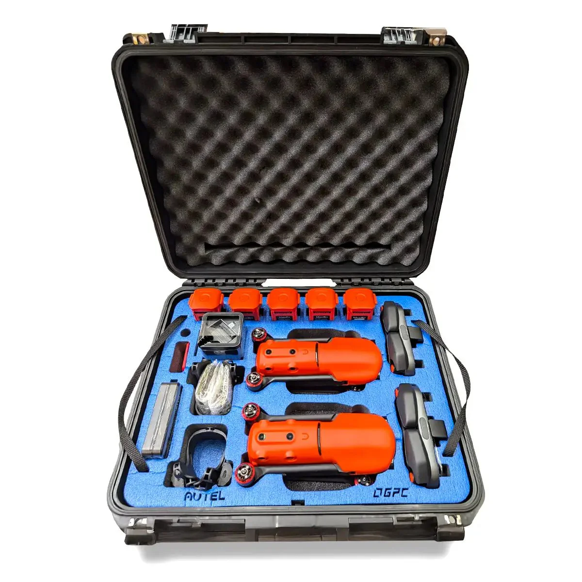
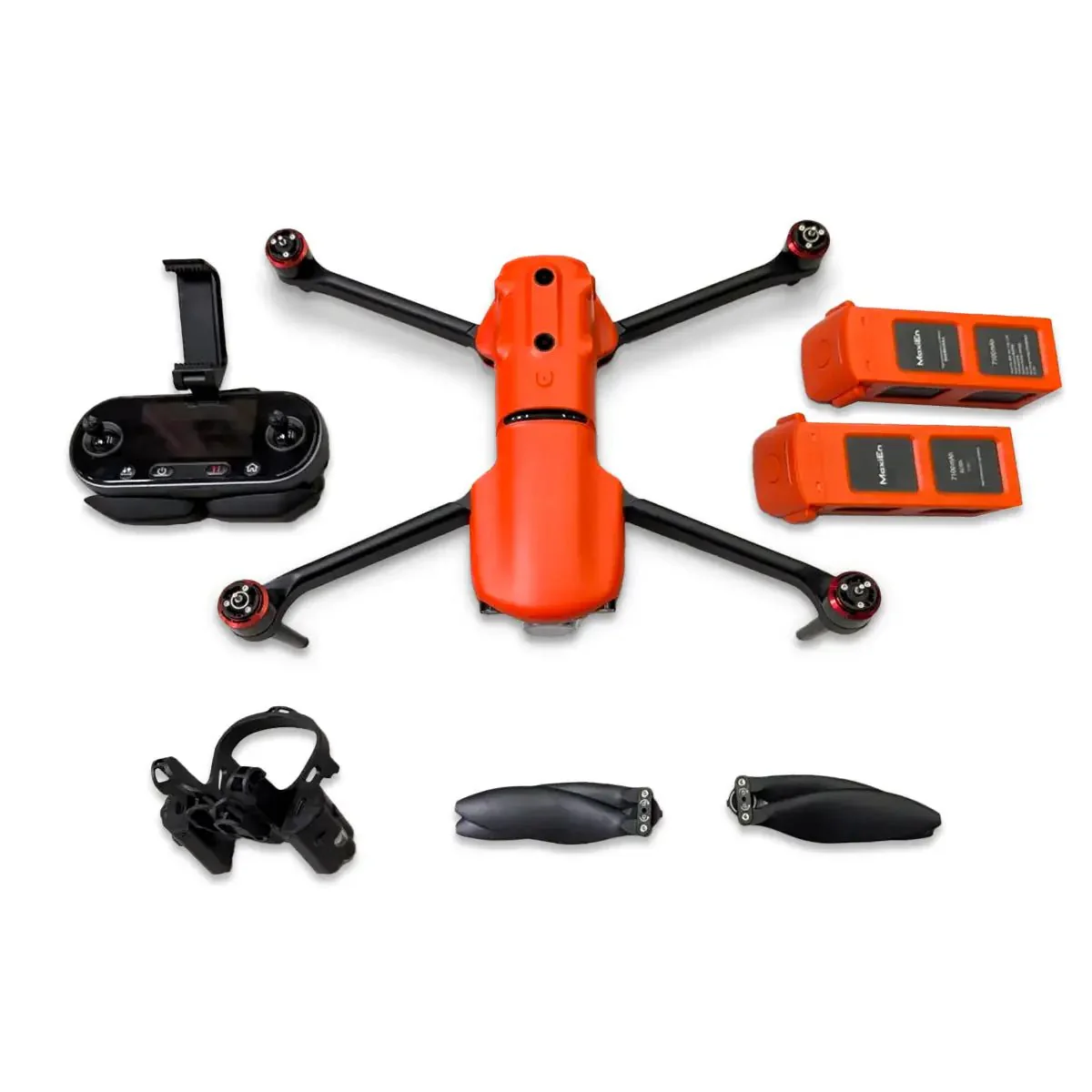
The GDU S220 Pro 1K Version Public Safety Bundle is a fully configured aerial system designed to deliver visual, thermal, and positional data within a single operational platform.
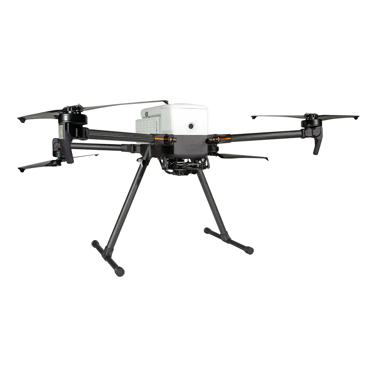
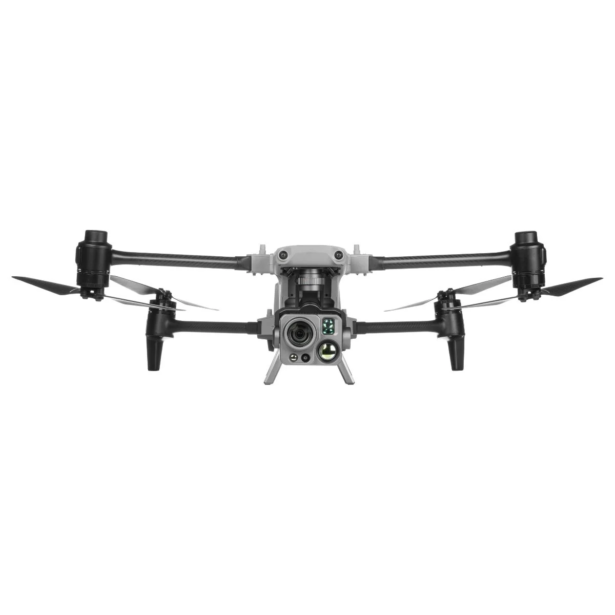
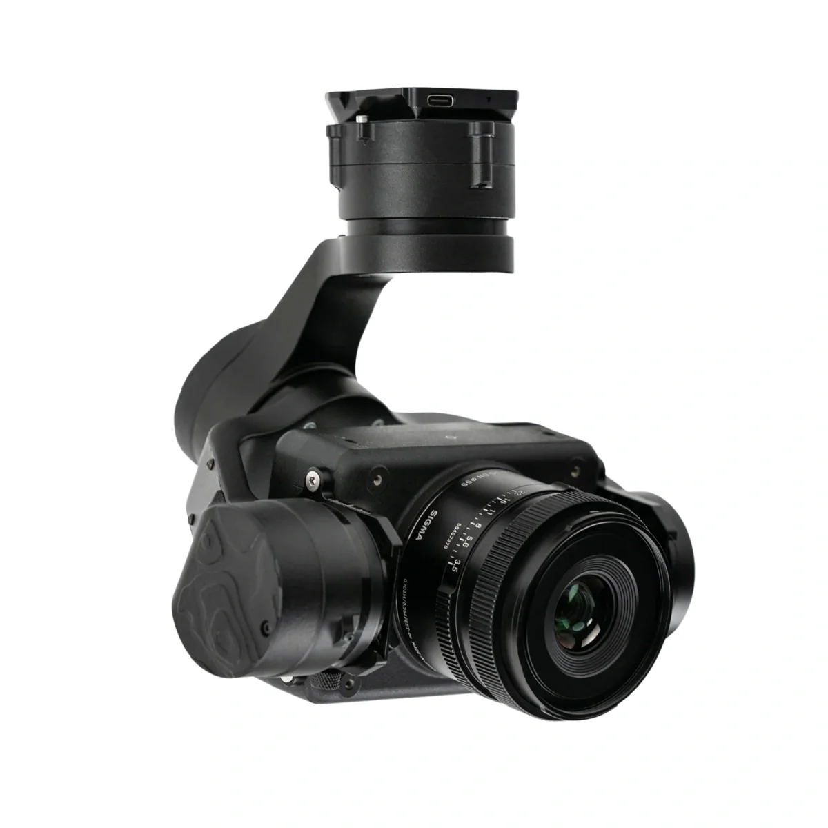
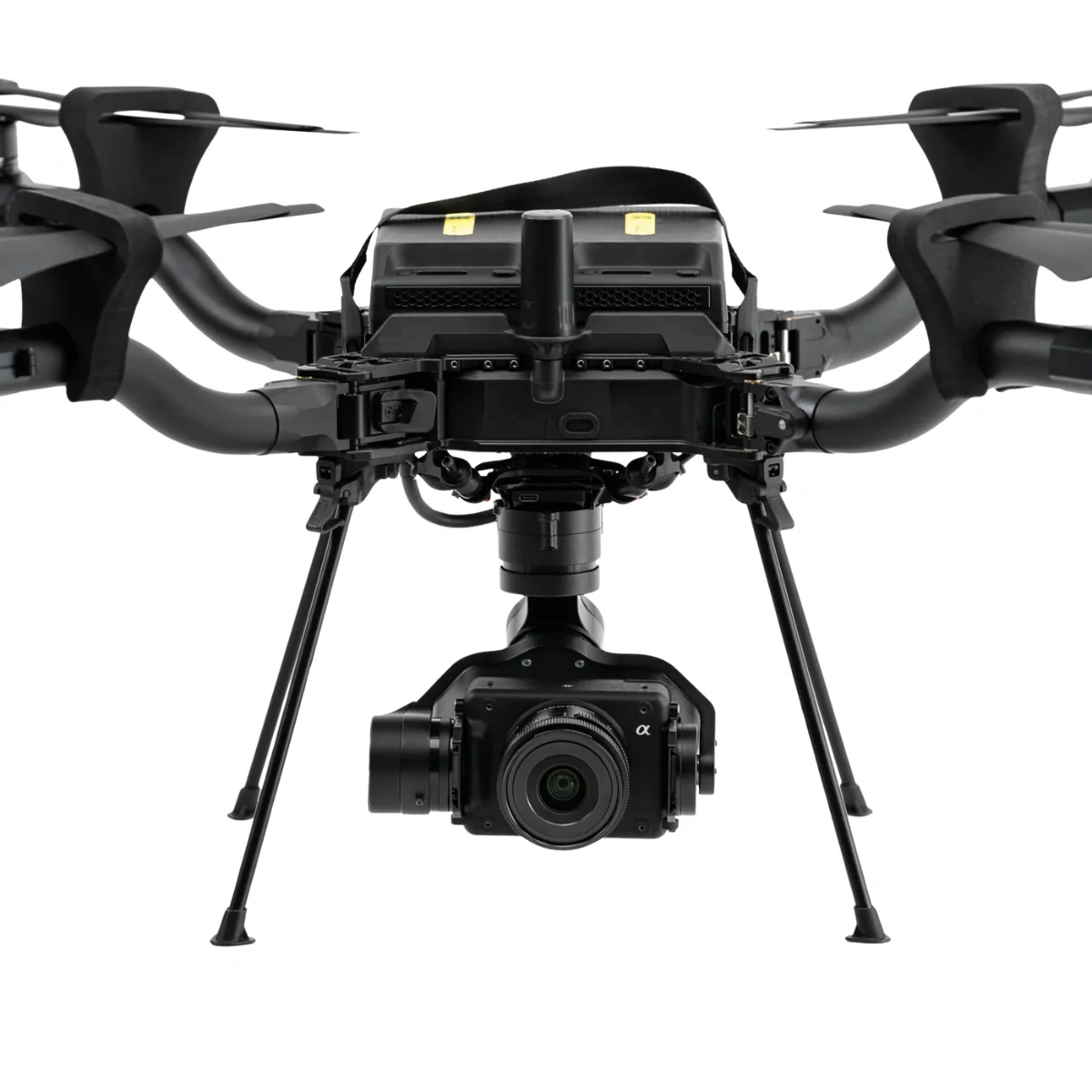
By combining a wide-angle camera, 48MP zoom camera, 1280 × 1024 thermal sensor, and laser rangefinder, it enables simultaneous data acquisition across multiple sensing layers without requiring additional payload swaps.
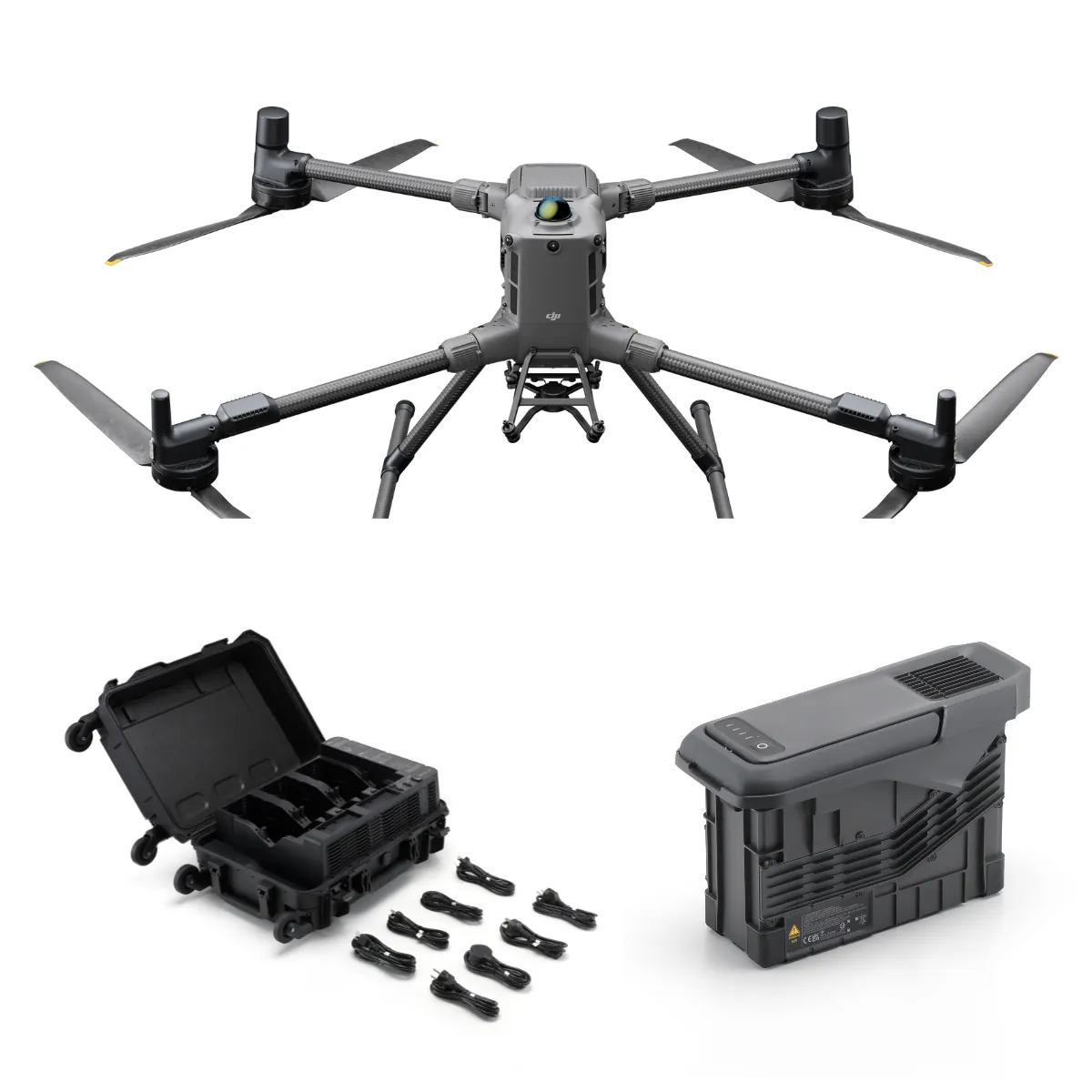
This bundle is structured for deployment at the system level, including RTK positioning, loudspeaker, spotlight, and extended battery support.
With up to 41 minutes of flight time, 15 km (9.32 miles) transmission range, and integrated AI processing up to 100T, it supports coordinated operations where real-time awareness, communication, and decision-making must be maintained.
Key Features and Benefits
- Integrated quad sensor system: Combines visual, thermal, and ranging capabilities.
- High-resolution thermal imaging: 1280 × 1024 sensor enables detailed heat analysis.
- Long-range zoom capability: 10× optical and 160× hybrid zoom system.
- Laser rangefinding system: Measures distances from 10 to 1500 meters accurately.
- Extended endurance platform: Up to 41 minutes of continuous flight operation.
- High-precision RTK positioning: Enables centimeter-level geospatial accuracy across missions.
- AI-enabled processing system: 21T onboard and up to 100T edge computing.
- Public safety payload integration: Includes loudspeaker and spotlight for response operations.
- Omnidirectional sensing system: Enhances navigation safety in complex environments.
Enabling Coordinated Multi-Sensor Operations Across Teams
For organizations managing coordinated field operations, the ability to align visual, thermal, and positional data into a single workflow is critical.
The S220 Pro platform enables this by delivering synchronized multi-sensor outputs while maintaining long-range connectivity up to 15 km (9.32 miles).
Its combined imaging stack and laser ranging provide both identification and measurement capabilities, while onboard and edge AI processing support automated recognition and tracking.
This allows teams to reduce manual workload, standardize data collection, and maintain operational continuity across multiple deployment scenarios.
Compatibility and System Integration
- Integrated payload architecture: Combines cameras, thermal sensor, and rangefinder in one system.
- RTK module integration: Provides high-precision positioning for mapping and response workflows.
- PSDK expansion interface: Supports additional payloads including AI modules and accessories.
- GDU Flight II compatibility: Enables mission planning and autonomous flight execution.
- UVER platform integration: Supports cloud-based data synchronization and fleet management.
- Multi-network communication: Supports Wi-Fi, Bluetooth, and network-based connectivity workflows.
- PYK-200 controller system: Provides centralized aircraft and payload control interface.
Applications and Use Cases
- Coordinated search operations: Deploy thermal and zoom imaging across large search areas.
- Law enforcement operations: Monitor and track targets using aerial multi-sensor data.
- Emergency response coordination: Provide real-time situational awareness across teams.
- Infrastructure and hazard assessment: Identify risks using thermal and visual data layers.
- Disaster management operations: Evaluate affected zones and support response planning.
- Night and low-visibility operations: Combine thermal imaging and spotlight illumination.
The GDU S220 Pro 1K Public Safety Bundle provides a structured aerial system for organizations that require consistent, multi-layer situational awareness.
Its integrated sensors, AI processing, and bundled response tools support scalable deployment across diverse mission types.
Dronefly works with agencies and organizations to design complete UAV systems that align with operational requirements. Our team can help integrate the S220 Pro into your workflows and expand its capabilities as your mission needs evolve.
Original: $10,850.00
-65%$10,850.00
$3,797.50Product Information
Product Information
Shipping & Returns
Shipping & Returns
Description
Integrated Aerial System for Multi-Layer Situational Awareness and Response
The GDU S220 Pro 1K Version Public Safety Bundle is a fully configured aerial system designed to deliver visual, thermal, and positional data within a single operational platform.
By combining a wide-angle camera, 48MP zoom camera, 1280 × 1024 thermal sensor, and laser rangefinder, it enables simultaneous data acquisition across multiple sensing layers without requiring additional payload swaps.
This bundle is structured for deployment at the system level, including RTK positioning, loudspeaker, spotlight, and extended battery support.
With up to 41 minutes of flight time, 15 km (9.32 miles) transmission range, and integrated AI processing up to 100T, it supports coordinated operations where real-time awareness, communication, and decision-making must be maintained.
Key Features and Benefits
- Integrated quad sensor system: Combines visual, thermal, and ranging capabilities.
- High-resolution thermal imaging: 1280 × 1024 sensor enables detailed heat analysis.
- Long-range zoom capability: 10× optical and 160× hybrid zoom system.
- Laser rangefinding system: Measures distances from 10 to 1500 meters accurately.
- Extended endurance platform: Up to 41 minutes of continuous flight operation.
- High-precision RTK positioning: Enables centimeter-level geospatial accuracy across missions.
- AI-enabled processing system: 21T onboard and up to 100T edge computing.
- Public safety payload integration: Includes loudspeaker and spotlight for response operations.
- Omnidirectional sensing system: Enhances navigation safety in complex environments.
Enabling Coordinated Multi-Sensor Operations Across Teams
For organizations managing coordinated field operations, the ability to align visual, thermal, and positional data into a single workflow is critical.
The S220 Pro platform enables this by delivering synchronized multi-sensor outputs while maintaining long-range connectivity up to 15 km (9.32 miles).
Its combined imaging stack and laser ranging provide both identification and measurement capabilities, while onboard and edge AI processing support automated recognition and tracking.
This allows teams to reduce manual workload, standardize data collection, and maintain operational continuity across multiple deployment scenarios.
Compatibility and System Integration
- Integrated payload architecture: Combines cameras, thermal sensor, and rangefinder in one system.
- RTK module integration: Provides high-precision positioning for mapping and response workflows.
- PSDK expansion interface: Supports additional payloads including AI modules and accessories.
- GDU Flight II compatibility: Enables mission planning and autonomous flight execution.
- UVER platform integration: Supports cloud-based data synchronization and fleet management.
- Multi-network communication: Supports Wi-Fi, Bluetooth, and network-based connectivity workflows.
- PYK-200 controller system: Provides centralized aircraft and payload control interface.
Applications and Use Cases
- Coordinated search operations: Deploy thermal and zoom imaging across large search areas.
- Law enforcement operations: Monitor and track targets using aerial multi-sensor data.
- Emergency response coordination: Provide real-time situational awareness across teams.
- Infrastructure and hazard assessment: Identify risks using thermal and visual data layers.
- Disaster management operations: Evaluate affected zones and support response planning.
- Night and low-visibility operations: Combine thermal imaging and spotlight illumination.
The GDU S220 Pro 1K Public Safety Bundle provides a structured aerial system for organizations that require consistent, multi-layer situational awareness.
Its integrated sensors, AI processing, and bundled response tools support scalable deployment across diverse mission types.
Dronefly works with agencies and organizations to design complete UAV systems that align with operational requirements. Our team can help integrate the S220 Pro into your workflows and expand its capabilities as your mission needs evolve.