GreenValley LiAir X3-H Airborne Laser Scanning Unit
GreenValley LiAir X3-H Airborne Laser Scanning Unit: 720,000 pts/s LiDAR with Triple Returns and Hybrid UAV–SLAM Mapping
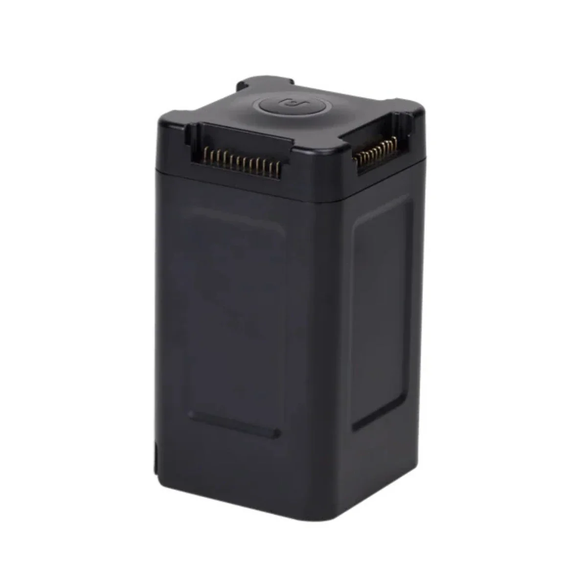
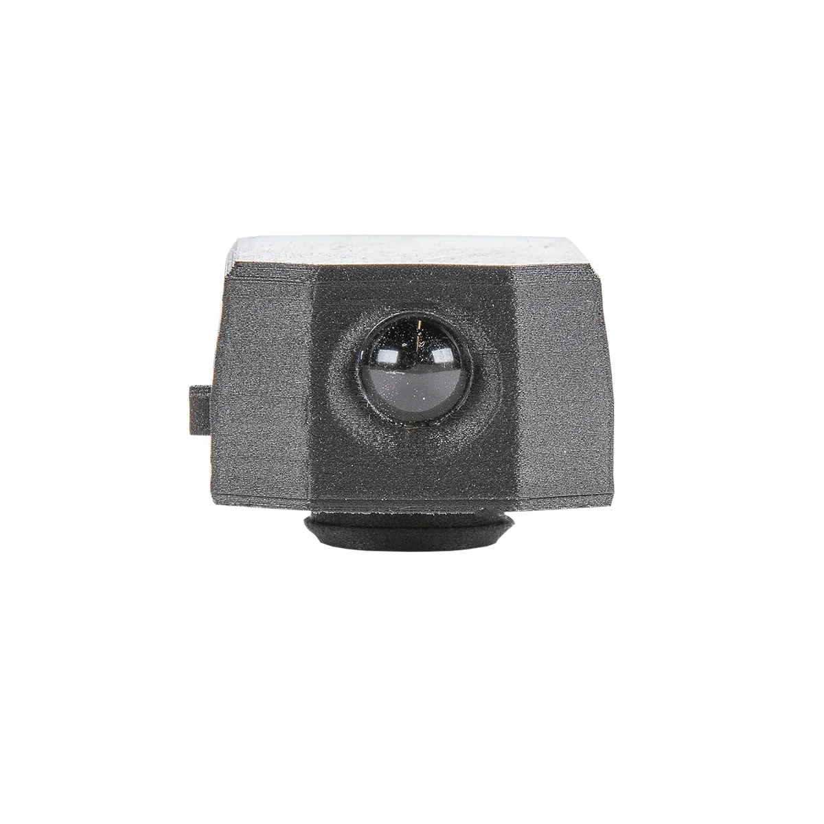
The GreenValley LiAir X3-H Airborne Laser Scanning Unit is a compact LiDAR payload designed for flexible mapping across aerial and ground-based workflows. It integrates a 905 nm LiDAR sensor, 200 Hz IMU, multi-constellation GNSS, and a 26 MP APS-C camera into a 1.25 kg (2.76 lbs) system, enabling synchronized capture of point cloud, positioning, and imagery data.
The system supports both UAV deployment and optional handheld SLAM operation, allowing data collection in open environments and GNSS-denied areas. With scan rates up to 720,000 points per second and detection ranges up to 450 m (1,476 ft), it provides consistent data capture across varied project conditions.
Key Features and Benefits
- High-speed LiDAR acquisition: Up to 720,000 points per second scanning rate.
- Triple-return functionality: Captures multiple surfaces for improved terrain reconstruction accuracy.
- Compact system weight: 1.25 kg enables efficient UAV deployment and handling.
- Detection range capability: Up to 450 meters at high reflectivity targets.
- Mapping accuracy: 5 cm vertical accuracy at 70 meters altitude.
- Integrated imaging system: 26 MP APS-C camera captures mapping-grade imagery.
- Multi-GNSS positioning: GPS, GLONASS, BeiDou improve geospatial alignment accuracy.
- Hybrid operation mode: Supports UAV mapping and handheld SLAM data collection.
- High coverage efficiency: Up to 100,000 square meters per hour mapping.
Flexible Data Capture Across Aerial and Ground Environments
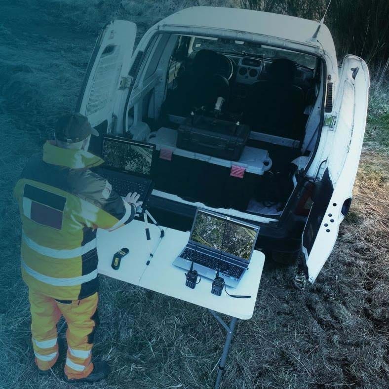
The LiAir X3-H operates across multiple data collection modes depending on project requirements. In UAV deployments, it captures LiDAR and imagery data at flight speeds of 5–10 m/s (11.2–22.4 mph), maintaining consistent point density across survey areas. Triple-return LiDAR improves surface modeling by capturing multiple reflections per pulse.
When used with the handheld module, the system applies SLAM and PPK-SLAM workflows to collect data in environments without GNSS signals. This enables indoor mapping, confined spaces, and structural scanning while maintaining alignment with aerial datasets for unified point cloud outputs.
Compatibility and System Integration
- Compatible with DJI Matrice 400, DJI Matrice 350 RTK, DJI Matrice 300 RTK.
- Designed for integration with DJI enterprise UAV payload mounting systems.
- LiPlan software enables mission planning, monitoring, and parameter adjustment.
- LiGeoreference processes trajectory and LiDAR data for accurate georeferencing outputs.
- LiDAR360 supports point cloud classification, analysis, and data refinement workflows.
- Enables fusion of UAV LiDAR data with handheld SLAM-generated datasets.
Applications and Use Cases
- Topographic mapping: Generate terrain models using high-density LiDAR point clouds.
- Forestry analysis: Capture ground elevation beneath dense vegetation canopy layers.
- Powerline inspection: Identify vegetation encroachment and clearance conditions accurately.
- Infrastructure mapping: Capture structures and assets with consistent spatial accuracy.
- Mining surveys: Measure stockpiles and terrain changes across operational sites.
- Building scanning: Capture indoor and structural geometry using SLAM workflows.
The GreenValley LiAir X3-H provides a combined UAV and handheld LiDAR solution for projects requiring flexibility across environments. Its integrated sensor design supports consistent data acquisition while simplifying deployment and operation.
Dronefly offers LiDAR systems configured for practical field use across mapping and inspection workflows. The LiAir X3-H can be deployed as a standalone system or integrated into existing operations depending on project requirements.
Original: $11,290.00
-65%$11,290.00
$3,951.50Product Information
Product Information
Shipping & Returns
Shipping & Returns
Description
GreenValley LiAir X3-H Airborne Laser Scanning Unit: 720,000 pts/s LiDAR with Triple Returns and Hybrid UAV–SLAM Mapping
The GreenValley LiAir X3-H Airborne Laser Scanning Unit is a compact LiDAR payload designed for flexible mapping across aerial and ground-based workflows. It integrates a 905 nm LiDAR sensor, 200 Hz IMU, multi-constellation GNSS, and a 26 MP APS-C camera into a 1.25 kg (2.76 lbs) system, enabling synchronized capture of point cloud, positioning, and imagery data.
The system supports both UAV deployment and optional handheld SLAM operation, allowing data collection in open environments and GNSS-denied areas. With scan rates up to 720,000 points per second and detection ranges up to 450 m (1,476 ft), it provides consistent data capture across varied project conditions.
Key Features and Benefits
- High-speed LiDAR acquisition: Up to 720,000 points per second scanning rate.
- Triple-return functionality: Captures multiple surfaces for improved terrain reconstruction accuracy.
- Compact system weight: 1.25 kg enables efficient UAV deployment and handling.
- Detection range capability: Up to 450 meters at high reflectivity targets.
- Mapping accuracy: 5 cm vertical accuracy at 70 meters altitude.
- Integrated imaging system: 26 MP APS-C camera captures mapping-grade imagery.
- Multi-GNSS positioning: GPS, GLONASS, BeiDou improve geospatial alignment accuracy.
- Hybrid operation mode: Supports UAV mapping and handheld SLAM data collection.
- High coverage efficiency: Up to 100,000 square meters per hour mapping.
Flexible Data Capture Across Aerial and Ground Environments
The LiAir X3-H operates across multiple data collection modes depending on project requirements. In UAV deployments, it captures LiDAR and imagery data at flight speeds of 5–10 m/s (11.2–22.4 mph), maintaining consistent point density across survey areas. Triple-return LiDAR improves surface modeling by capturing multiple reflections per pulse.
When used with the handheld module, the system applies SLAM and PPK-SLAM workflows to collect data in environments without GNSS signals. This enables indoor mapping, confined spaces, and structural scanning while maintaining alignment with aerial datasets for unified point cloud outputs.
Compatibility and System Integration
- Compatible with DJI Matrice 400, DJI Matrice 350 RTK, DJI Matrice 300 RTK.
- Designed for integration with DJI enterprise UAV payload mounting systems.
- LiPlan software enables mission planning, monitoring, and parameter adjustment.
- LiGeoreference processes trajectory and LiDAR data for accurate georeferencing outputs.
- LiDAR360 supports point cloud classification, analysis, and data refinement workflows.
- Enables fusion of UAV LiDAR data with handheld SLAM-generated datasets.
Applications and Use Cases
- Topographic mapping: Generate terrain models using high-density LiDAR point clouds.
- Forestry analysis: Capture ground elevation beneath dense vegetation canopy layers.
- Powerline inspection: Identify vegetation encroachment and clearance conditions accurately.
- Infrastructure mapping: Capture structures and assets with consistent spatial accuracy.
- Mining surveys: Measure stockpiles and terrain changes across operational sites.
- Building scanning: Capture indoor and structural geometry using SLAM workflows.
The GreenValley LiAir X3-H provides a combined UAV and handheld LiDAR solution for projects requiring flexibility across environments. Its integrated sensor design supports consistent data acquisition while simplifying deployment and operation.
Dronefly offers LiDAR systems configured for practical field use across mapping and inspection workflows. The LiAir X3-H can be deployed as a standalone system or integrated into existing operations depending on project requirements.