GreenValley LiAir H800 UAV LiDAR System
GreenValley LiAir H800 UAV LiDAR System: 1000 m Range LiDAR Mapping with 1,000,000 pts/s and 100° Coverage
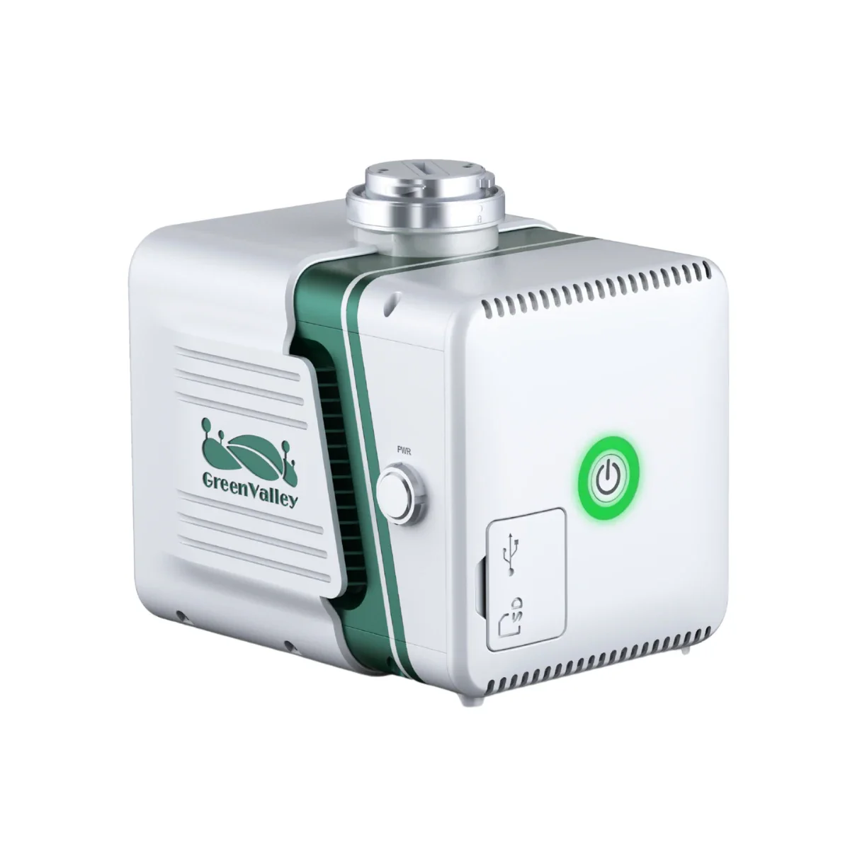
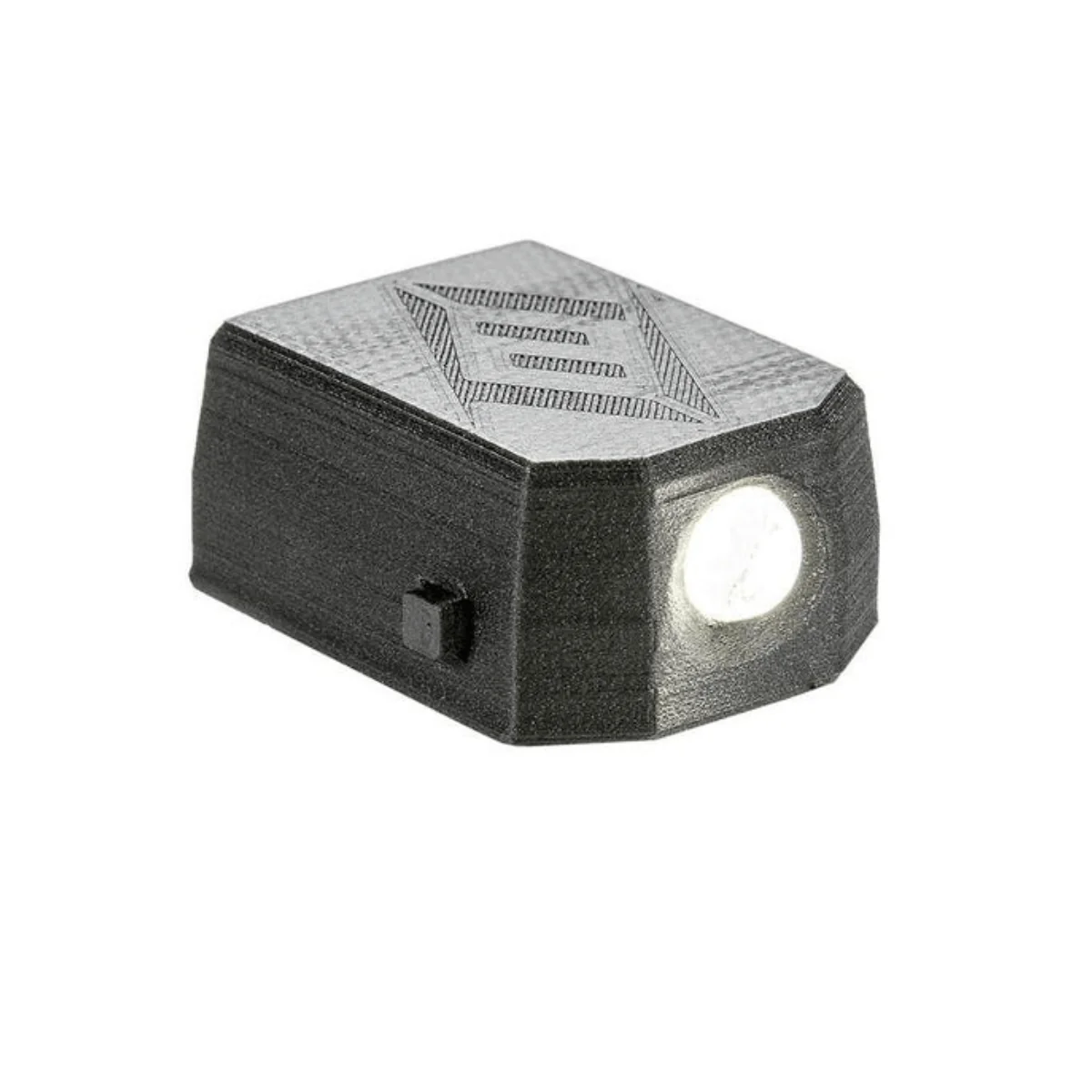
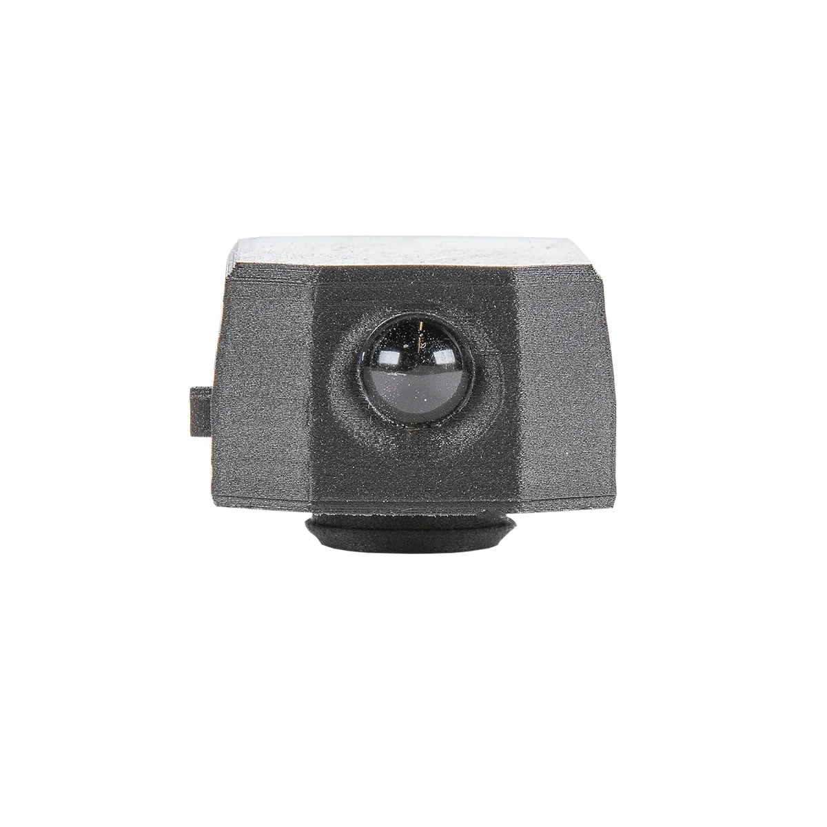
The GreenValley LiAir H800 UAV LiDAR System is an integrated aerial mapping payload designed for high-density data acquisition across surveying, inspection, and infrastructure workflows. It combines a 1535 nm LiDAR sensor, 1000 Hz IMU, multi-constellation GNSS, and a 26 MP mapping camera into a single 2.2 kg (4.85 lbs) system, enabling synchronized point cloud and image capture during flight.
With scan rates up to 1,000,000 points per second, a maximum detection range of 1000 m (3,281 ft), and vertical accuracy of ±5 cm at 200 m altitude, the LiAir H800 is built for consistent data capture across large areas and varied terrain conditions.
Key Features and Benefits
- High-speed LiDAR scanning: Up to 1,000,000 points per second capture rate.
- Extended detection range: Measures targets up to 1000 meters distance.
- Unlimited waveform returns: Captures terrain beneath dense vegetation canopy.
- Wide scanning coverage: 100° field of view increases mapping efficiency.
- Survey-grade accuracy: ±5 cm vertical accuracy at 200 meters altitude.
- Integrated mapping camera: 26 MP captures 6252 × 4168 resolution imagery.
- High-frequency IMU system: 1000 Hz improves trajectory and orientation accuracy.
- Adaptive scan configurations: Nine presets maintain consistent point cloud density.
- Real-time monitoring: Displays point cloud and system data during flight.
Consistent LiDAR Data Capture Across Large Survey Areas
The LiAir H800 uses a Time-of-Flight LiDAR system operating at 1535 nm to generate accurate distance measurements and high-density point clouds. Its 100° field of view enables swath widths greater than 450 m (1,476 ft) at 200 m altitude, allowing operators to cover large areas efficiently while reducing flight line requirements.
With unlimited returns and scan rates up to 1,000,000 points per second, the system captures terrain beneath dense vegetation and complex environments. The integrated INS provides attitude accuracy of 0.006° and azimuth accuracy of 0.019°, supporting consistent georeferencing across mapping and inspection workflows.
Compatibility and System Integration
- Compatible with DJI Matrice 350 RTK, DJI Matrice 300 RTK, DJI Matrice 400.
- OSDK interface enables direct payload integration with supported UAV platforms.
- Requires dual GNSS antenna configuration for high-accuracy positioning workflows.
- Integrates with GreenValley Flight Assistant for mission control and monitoring.
- LiGeoreference supports LiDAR trajectory processing and point cloud generation.
- Compatible with LiDAR360 and LiPowerline for advanced data analysis workflows.
Applications and Use Cases
- Topographic mapping: Generate terrain models with high-density LiDAR point clouds.
- Powerline inspection: Measure clearances and detect vegetation encroachment accurately.
- Forestry analysis: Capture ground elevation beneath dense canopy environments.
- Corridor mapping: Survey roads, pipelines, and railways with wide coverage.
- Infrastructure inspection: Map assets and structures with consistent spatial accuracy.
- Disaster response: Capture terrain changes and damage assessment data efficiently.
The LiAir H800 provides a combination of range, data density, and coverage for aerial mapping workflows. Its integrated LiDAR, camera, and INS system supports consistent data acquisition while reducing setup and calibration complexity.
Dronefly provides access to UAV LiDAR systems configured for real-world deployment. The LiAir H800 can be integrated into existing workflows or deployed as part of a complete aerial mapping solution available through Dronefly.
Product Information
Product Information
Shipping & Returns
Shipping & Returns
Description
GreenValley LiAir H800 UAV LiDAR System: 1000 m Range LiDAR Mapping with 1,000,000 pts/s and 100° Coverage
The GreenValley LiAir H800 UAV LiDAR System is an integrated aerial mapping payload designed for high-density data acquisition across surveying, inspection, and infrastructure workflows. It combines a 1535 nm LiDAR sensor, 1000 Hz IMU, multi-constellation GNSS, and a 26 MP mapping camera into a single 2.2 kg (4.85 lbs) system, enabling synchronized point cloud and image capture during flight.
With scan rates up to 1,000,000 points per second, a maximum detection range of 1000 m (3,281 ft), and vertical accuracy of ±5 cm at 200 m altitude, the LiAir H800 is built for consistent data capture across large areas and varied terrain conditions.
Key Features and Benefits
- High-speed LiDAR scanning: Up to 1,000,000 points per second capture rate.
- Extended detection range: Measures targets up to 1000 meters distance.
- Unlimited waveform returns: Captures terrain beneath dense vegetation canopy.
- Wide scanning coverage: 100° field of view increases mapping efficiency.
- Survey-grade accuracy: ±5 cm vertical accuracy at 200 meters altitude.
- Integrated mapping camera: 26 MP captures 6252 × 4168 resolution imagery.
- High-frequency IMU system: 1000 Hz improves trajectory and orientation accuracy.
- Adaptive scan configurations: Nine presets maintain consistent point cloud density.
- Real-time monitoring: Displays point cloud and system data during flight.
Consistent LiDAR Data Capture Across Large Survey Areas
The LiAir H800 uses a Time-of-Flight LiDAR system operating at 1535 nm to generate accurate distance measurements and high-density point clouds. Its 100° field of view enables swath widths greater than 450 m (1,476 ft) at 200 m altitude, allowing operators to cover large areas efficiently while reducing flight line requirements.
With unlimited returns and scan rates up to 1,000,000 points per second, the system captures terrain beneath dense vegetation and complex environments. The integrated INS provides attitude accuracy of 0.006° and azimuth accuracy of 0.019°, supporting consistent georeferencing across mapping and inspection workflows.
Compatibility and System Integration
- Compatible with DJI Matrice 350 RTK, DJI Matrice 300 RTK, DJI Matrice 400.
- OSDK interface enables direct payload integration with supported UAV platforms.
- Requires dual GNSS antenna configuration for high-accuracy positioning workflows.
- Integrates with GreenValley Flight Assistant for mission control and monitoring.
- LiGeoreference supports LiDAR trajectory processing and point cloud generation.
- Compatible with LiDAR360 and LiPowerline for advanced data analysis workflows.
Applications and Use Cases
- Topographic mapping: Generate terrain models with high-density LiDAR point clouds.
- Powerline inspection: Measure clearances and detect vegetation encroachment accurately.
- Forestry analysis: Capture ground elevation beneath dense canopy environments.
- Corridor mapping: Survey roads, pipelines, and railways with wide coverage.
- Infrastructure inspection: Map assets and structures with consistent spatial accuracy.
- Disaster response: Capture terrain changes and damage assessment data efficiently.
The LiAir H800 provides a combination of range, data density, and coverage for aerial mapping workflows. Its integrated LiDAR, camera, and INS system supports consistent data acquisition while reducing setup and calibration complexity.
Dronefly provides access to UAV LiDAR systems configured for real-world deployment. The LiAir H800 can be integrated into existing workflows or deployed as part of a complete aerial mapping solution available through Dronefly.