GreenValley LiAir X3C-H Compact UAV LiDAR System
GreenValley LiAir X3C-H: Compact Professional 3D Mapping System
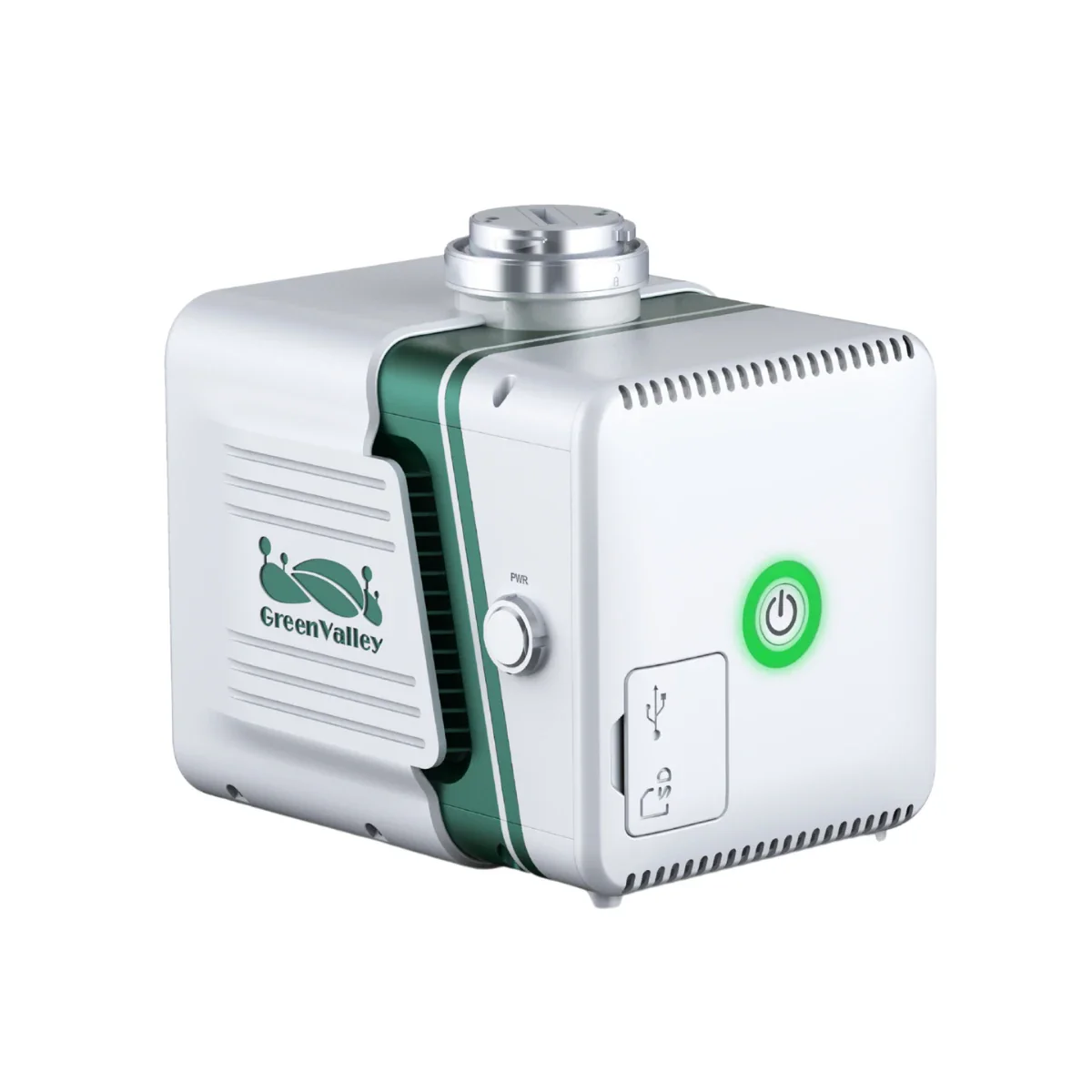
The GreenValley LiAir X3C-H is a lightweight and highly integrated UAV LiDAR system designed to meet the rigorous demands of professional surveying and infrastructure inspection. Weighing only 1.12 kg (2.47 lbs), this compact solution integrates a 32-channel laser scanner, a high-accuracy inertial navigation system, and a built-in 26 MP mapping camera into a single housing. It is engineered to deliver centimeter-level point cloud accuracy for complex missions, including topographic mapping, forestry measurement, and power-line inspection. By bridging the gap between aerial data collection and ground-based scanning, the X3C-H provides a versatile workflow for operators who require high-fidelity 3D models in any environment.
LiAir X3C-H overview and highlights
- Lightweight architecture: System weight of only 1.12 kg (2.47 lbs) for efficiency.
- Advanced 32-channel laser: Use HESAI rotating scan technology for dense data.
- Integrated mapping camera: Built-in 26 MP sensor enables true-color point cloud fusion.
- Centimeter-level precision: Achieve 5 cm (1.97 in) vertical accuracy at 70 m (230 ft).
- Triple return capability: Penetrate dense vegetation with 1.92 million points per second.
- SLAM technology: Integrated GNSS and SLAM support mapping in signal-blocked areas.
- Multi-platform versatility: Transition between drone-mounted and handheld operations easily.
- High efficiency: Survey 100,000 m² per hour with 10,000 pts/m² density.
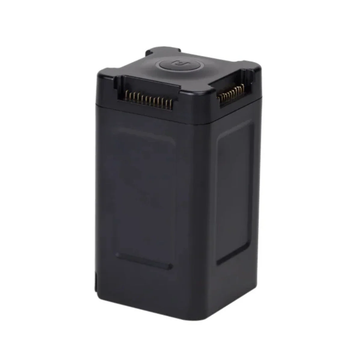
- Extended field use: Handheld battery kit offers 3 hours of continuous operation.
Professional performance for enterprise 3D surveying missions
The LiAir X3C-H is built to streamline complex data acquisition workflows, offering a point rate of up to 1,920,000 pts/s to ensure no detail is missed during high-speed flights. Its triple-return sensor is essential for forestry and topographic missions, allowing the laser to reach the ground through dense canopy layers. The system's integrated high-resolution mapping camera provides 26 MP resolution, delivering the necessary color information for photogrammetry and high-quality true-color point clouds. This combination of density and visual clarity allows enterprise operators to produce actionable 3D intelligence for critical infrastructure projects with absolute coordinate accuracy.
System integration and support
- DJI Matrice 350 RTK: Optimized for stable mounting and power integration.
- DJI Matrice 300 RTK: Fully supported with PSDK module communication.
- Freefly platforms: Compatible with Alta series for specialized aerial deployments.
- LIDAR360: Comprehensive post-processing suite for forestry and mining analytics.
- Handheld Accessories: Quick-release ergonomic grip for indoor and building facade surveying.
Operational benefits and deployment scenarios
- Power monitoring: Identify structural defects and vegetation encroachment along utility corridors.
- Forestry management: Map canopy heights and calculate biomass with precise triple-return data.
- Mining surveying: Capture accurate stockpile volumes and topographic changes in open-pit mines.
- Building scanning: Generate detailed 3D models of complex facades and indoor structures.
- Topographic surveying: Create high-precision digital elevation models for civil engineering.
- Infrastructure inspection: Utilize high-density point clouds for non-destructive asset integrity assessments.
Designed for system interoperability
The LiAir X3C-H features an integrated design style that eliminates complex wiring, making it mission-ready within minutes. Built for the rigors of field operations, it functions reliably in temperatures ranging from -20°C to 50°C (-4°F to 122°F). The system's unique engineered data storage model allows for one-touch operation, ensuring that laser and camera data are captured and copied efficiently via the unpluggable 256 GB TF card. Whether deployed on a flagship enterprise drone or used as a handheld scanner in GNSS-denied environments, the X3C-H maintains high performance across all operational spaces.
The GreenValley LiAir X3C-H is a definitive mapping solution for professionals who need accurate 3D data in both aerial and ground-based environments. By integrating SLAM technology with high-performance LiDAR, it overcomes the limitations of traditional GNSS-only systems in complex terrain. Its lightweight, robust construction ensures that your team can deliver consistent, centimeter-level results for any enterprise mapping mission.
Dronefly customers receive more than just a drone; they receive a fully integrated UAV Solutions Lifecycle Partnership Program. Our ability to provide complete drone services from beginning to end sets us apart from other dealers in this space. Secure your exclusive drone partner and enhance your mapping capabilities by purchasing the GreenValley LiAir X3C-H from Dronefly.
Original: $19,400.00
-65%$19,400.00
$6,790.00Product Information
Product Information
Shipping & Returns
Shipping & Returns
Description
GreenValley LiAir X3C-H: Compact Professional 3D Mapping System
The GreenValley LiAir X3C-H is a lightweight and highly integrated UAV LiDAR system designed to meet the rigorous demands of professional surveying and infrastructure inspection. Weighing only 1.12 kg (2.47 lbs), this compact solution integrates a 32-channel laser scanner, a high-accuracy inertial navigation system, and a built-in 26 MP mapping camera into a single housing. It is engineered to deliver centimeter-level point cloud accuracy for complex missions, including topographic mapping, forestry measurement, and power-line inspection. By bridging the gap between aerial data collection and ground-based scanning, the X3C-H provides a versatile workflow for operators who require high-fidelity 3D models in any environment.
LiAir X3C-H overview and highlights
- Lightweight architecture: System weight of only 1.12 kg (2.47 lbs) for efficiency.
- Advanced 32-channel laser: Use HESAI rotating scan technology for dense data.
- Integrated mapping camera: Built-in 26 MP sensor enables true-color point cloud fusion.
- Centimeter-level precision: Achieve 5 cm (1.97 in) vertical accuracy at 70 m (230 ft).
- Triple return capability: Penetrate dense vegetation with 1.92 million points per second.
- SLAM technology: Integrated GNSS and SLAM support mapping in signal-blocked areas.
- Multi-platform versatility: Transition between drone-mounted and handheld operations easily.
- High efficiency: Survey 100,000 m² per hour with 10,000 pts/m² density.
- Extended field use: Handheld battery kit offers 3 hours of continuous operation.
Professional performance for enterprise 3D surveying missions
The LiAir X3C-H is built to streamline complex data acquisition workflows, offering a point rate of up to 1,920,000 pts/s to ensure no detail is missed during high-speed flights. Its triple-return sensor is essential for forestry and topographic missions, allowing the laser to reach the ground through dense canopy layers. The system's integrated high-resolution mapping camera provides 26 MP resolution, delivering the necessary color information for photogrammetry and high-quality true-color point clouds. This combination of density and visual clarity allows enterprise operators to produce actionable 3D intelligence for critical infrastructure projects with absolute coordinate accuracy.
System integration and support
- DJI Matrice 350 RTK: Optimized for stable mounting and power integration.
- DJI Matrice 300 RTK: Fully supported with PSDK module communication.
- Freefly platforms: Compatible with Alta series for specialized aerial deployments.
- LIDAR360: Comprehensive post-processing suite for forestry and mining analytics.
- Handheld Accessories: Quick-release ergonomic grip for indoor and building facade surveying.
Operational benefits and deployment scenarios
- Power monitoring: Identify structural defects and vegetation encroachment along utility corridors.
- Forestry management: Map canopy heights and calculate biomass with precise triple-return data.
- Mining surveying: Capture accurate stockpile volumes and topographic changes in open-pit mines.
- Building scanning: Generate detailed 3D models of complex facades and indoor structures.
- Topographic surveying: Create high-precision digital elevation models for civil engineering.
- Infrastructure inspection: Utilize high-density point clouds for non-destructive asset integrity assessments.
Designed for system interoperability
The LiAir X3C-H features an integrated design style that eliminates complex wiring, making it mission-ready within minutes. Built for the rigors of field operations, it functions reliably in temperatures ranging from -20°C to 50°C (-4°F to 122°F). The system's unique engineered data storage model allows for one-touch operation, ensuring that laser and camera data are captured and copied efficiently via the unpluggable 256 GB TF card. Whether deployed on a flagship enterprise drone or used as a handheld scanner in GNSS-denied environments, the X3C-H maintains high performance across all operational spaces.
The GreenValley LiAir X3C-H is a definitive mapping solution for professionals who need accurate 3D data in both aerial and ground-based environments. By integrating SLAM technology with high-performance LiDAR, it overcomes the limitations of traditional GNSS-only systems in complex terrain. Its lightweight, robust construction ensures that your team can deliver consistent, centimeter-level results for any enterprise mapping mission.
Dronefly customers receive more than just a drone; they receive a fully integrated UAV Solutions Lifecycle Partnership Program. Our ability to provide complete drone services from beginning to end sets us apart from other dealers in this space. Secure your exclusive drone partner and enhance your mapping capabilities by purchasing the GreenValley LiAir X3C-H from Dronefly.