GreenValley LiDAR360
GreenValley LiDAR360: Enterprise LiDAR Processing Platform For Mapping And Inspection
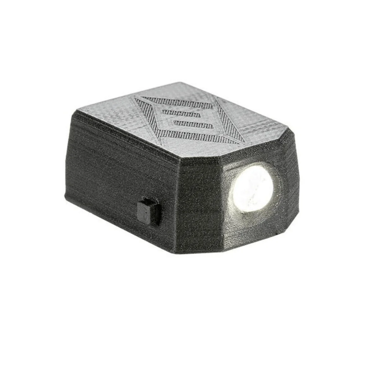
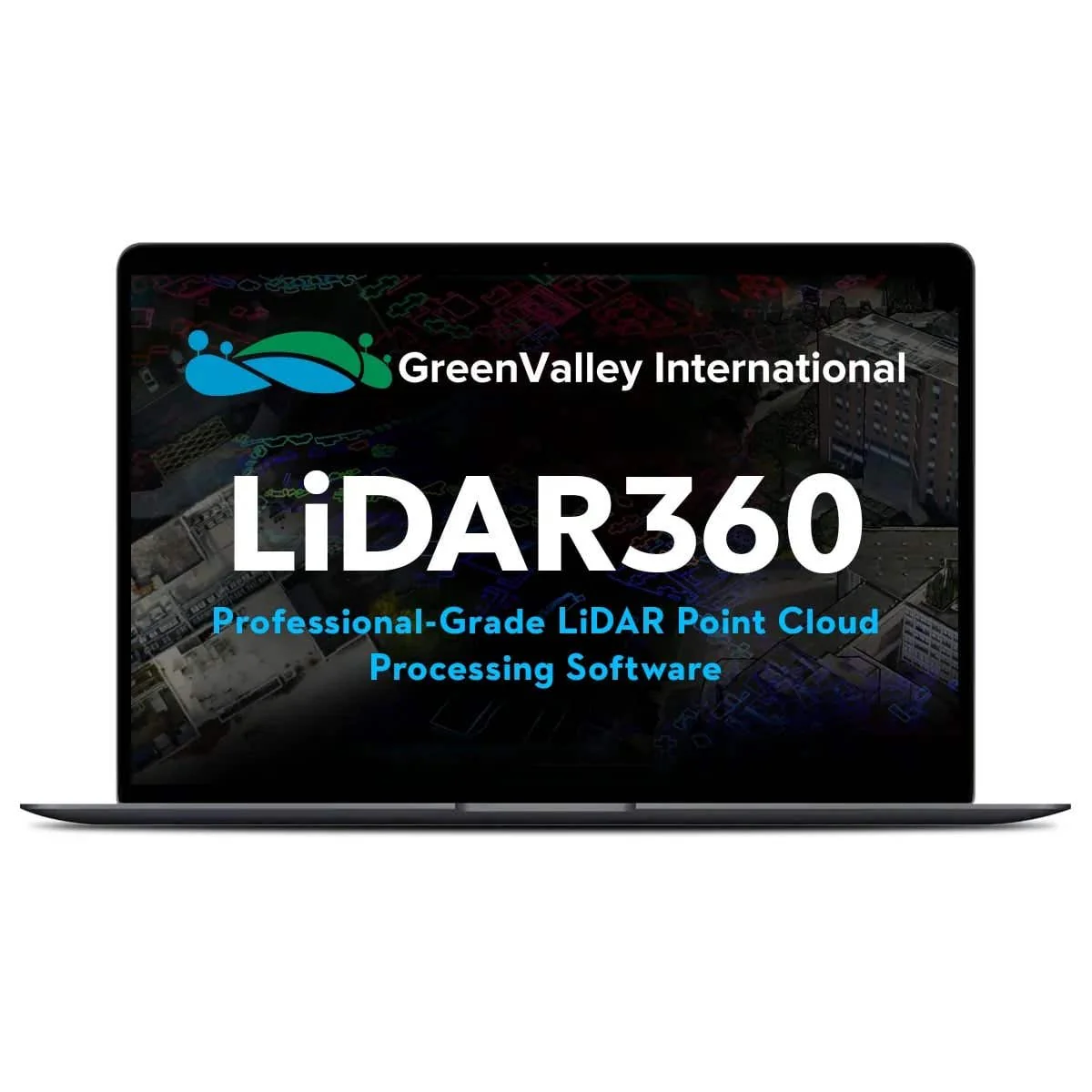
GreenValley LiDAR360 is a professional LiDAR processing platform developed for large-scale point cloud analysis across mapping, inspection, forestry, terrain, and infrastructure workflows. It processes airborne, mobile, UAV, and SLAM/handheld LiDAR datasets while integrating imagery, classification, modeling, and vector editing tools in one environment. With more than 700 tools, TB-scale processing capability, CPU/GPU high-performance computing, and industry-focused modules, LiDAR360 helps teams produce terrain products, extract features, analyze infrastructure, and manage demanding LiDAR projects with greater efficiency.
GreenValley LiDAR360 Platform Highlights And Specialized Workflow Coverage
- TB-scale visualization tools: manage and inspect very large point cloud datasets.
High-performance computing: accelerate processing with CPU and GPU resources.
- Multi-industry workflows: support mapping, forestry, powerline, mining, and modeling.
- Automated classification tools: identify terrain, vegetation, buildings, and infrastructure.
- Comprehensive data support: process point clouds from Airborne, Mobile, and SLAM/Handheld sensors.
- Image integration support: combine point clouds with RGB and hyperspectral imagery.
- Terrain analysis tools: create topographic models and derived surface products.
- Forestry module functions: analyze tree structure and forest inventory parameters.
Powerline module functions: inspect corridors and detect transmission hazards.
- Vector editing tools: extract and edit 2D and 3D features.
- Scalable licensing options: choose platform tiers and specialized workflow modules.
GreenValley LiDAR360 is built to centralize LiDAR processing across organizations that need broad technical coverage and large-data performance. Its modular design supports specialized analysis without forcing teams to move between disconnected software tools. The result is a flexible platform for converting LiDAR and image data into practical outputs for engineering, inspection, and geospatial decision-making.
When you purchase GreenValley LiDAR360 from Dronefly, you receive authorized software licensing from an experienced UAV dealer serving professional LiDAR users. We help clarify platform options and module selection based on your workflow needs.
Buy GreenValley LiDAR360 from Dronefly to strengthen your LiDAR processing capability with a scalable software platform.
Original: $2,100.00
-65%$2,100.00
$735.00Product Information
Product Information
Shipping & Returns
Shipping & Returns
Description
GreenValley LiDAR360: Enterprise LiDAR Processing Platform For Mapping And Inspection
GreenValley LiDAR360 is a professional LiDAR processing platform developed for large-scale point cloud analysis across mapping, inspection, forestry, terrain, and infrastructure workflows. It processes airborne, mobile, UAV, and SLAM/handheld LiDAR datasets while integrating imagery, classification, modeling, and vector editing tools in one environment. With more than 700 tools, TB-scale processing capability, CPU/GPU high-performance computing, and industry-focused modules, LiDAR360 helps teams produce terrain products, extract features, analyze infrastructure, and manage demanding LiDAR projects with greater efficiency.
GreenValley LiDAR360 Platform Highlights And Specialized Workflow Coverage
- TB-scale visualization tools: manage and inspect very large point cloud datasets.
High-performance computing: accelerate processing with CPU and GPU resources.
- Multi-industry workflows: support mapping, forestry, powerline, mining, and modeling.
- Automated classification tools: identify terrain, vegetation, buildings, and infrastructure.
- Comprehensive data support: process point clouds from Airborne, Mobile, and SLAM/Handheld sensors.
- Image integration support: combine point clouds with RGB and hyperspectral imagery.
- Terrain analysis tools: create topographic models and derived surface products.
- Forestry module functions: analyze tree structure and forest inventory parameters.
Powerline module functions: inspect corridors and detect transmission hazards.
- Vector editing tools: extract and edit 2D and 3D features.
- Scalable licensing options: choose platform tiers and specialized workflow modules.
GreenValley LiDAR360 is built to centralize LiDAR processing across organizations that need broad technical coverage and large-data performance. Its modular design supports specialized analysis without forcing teams to move between disconnected software tools. The result is a flexible platform for converting LiDAR and image data into practical outputs for engineering, inspection, and geospatial decision-making.
When you purchase GreenValley LiDAR360 from Dronefly, you receive authorized software licensing from an experienced UAV dealer serving professional LiDAR users. We help clarify platform options and module selection based on your workflow needs.
Buy GreenValley LiDAR360 from Dronefly to strengthen your LiDAR processing capability with a scalable software platform.