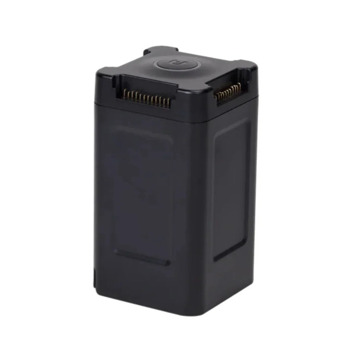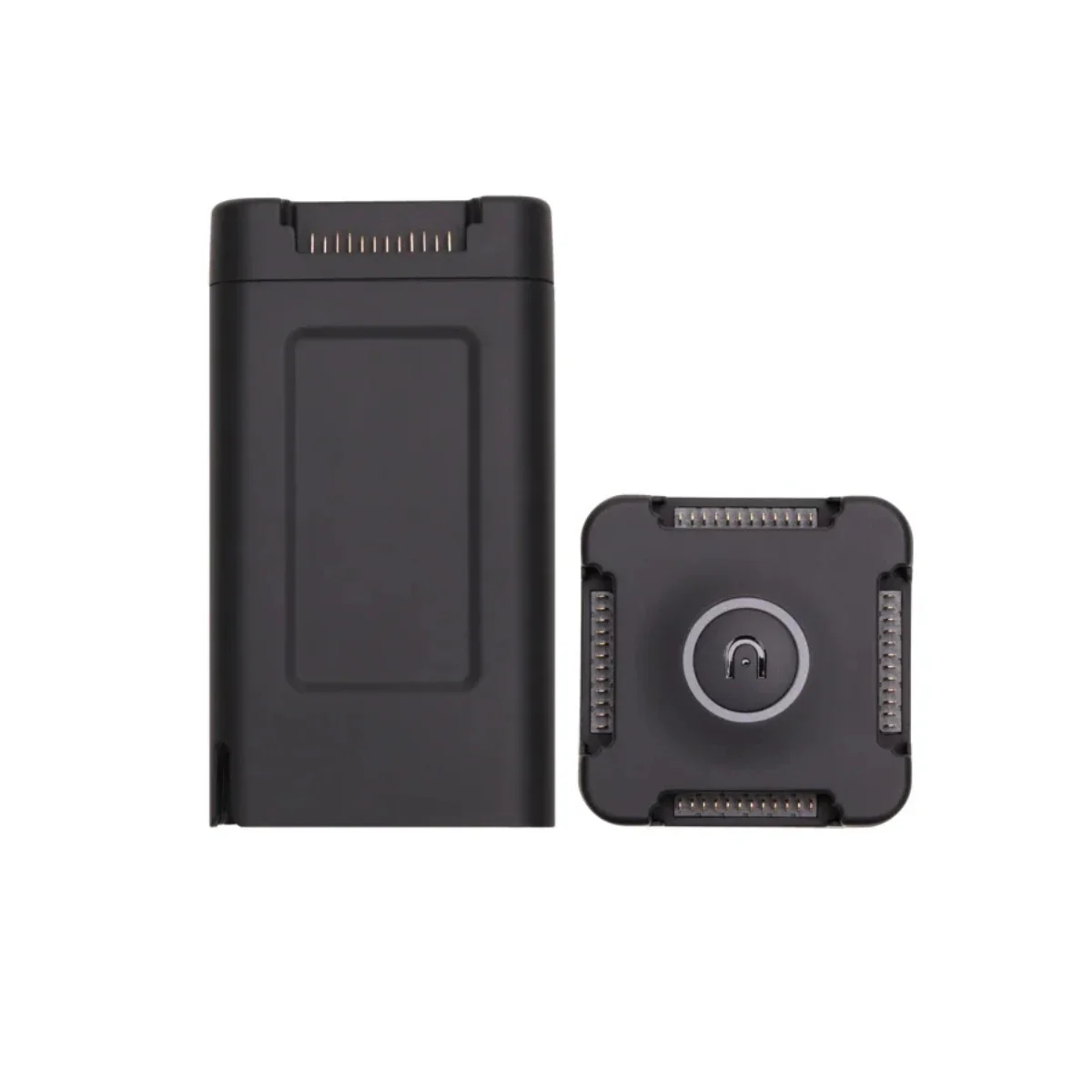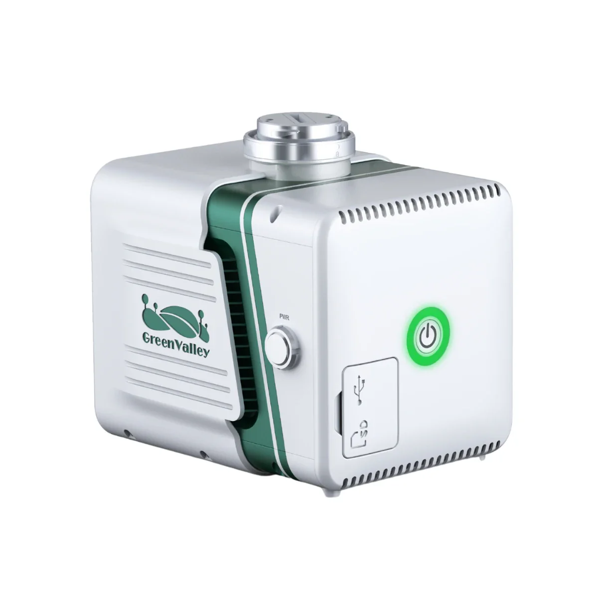
GreenValley LiGrip O2 Lite (with GNSS Module & Antenna) + BP Module
Compact SLAM Mapping with GNSS Precision for the Field
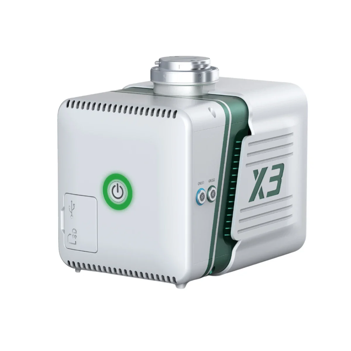
The GreenValley LiGrip O2 Lite is a handheld SLAM LiDAR system engineered for integrated 3D data acquisition and processing workflows. Combining multi-sensor SLAM positioning with a high-precision RTK module, it delivers georeferenced point cloud data in real time across both GNSS-available and GNSS-denied environments.
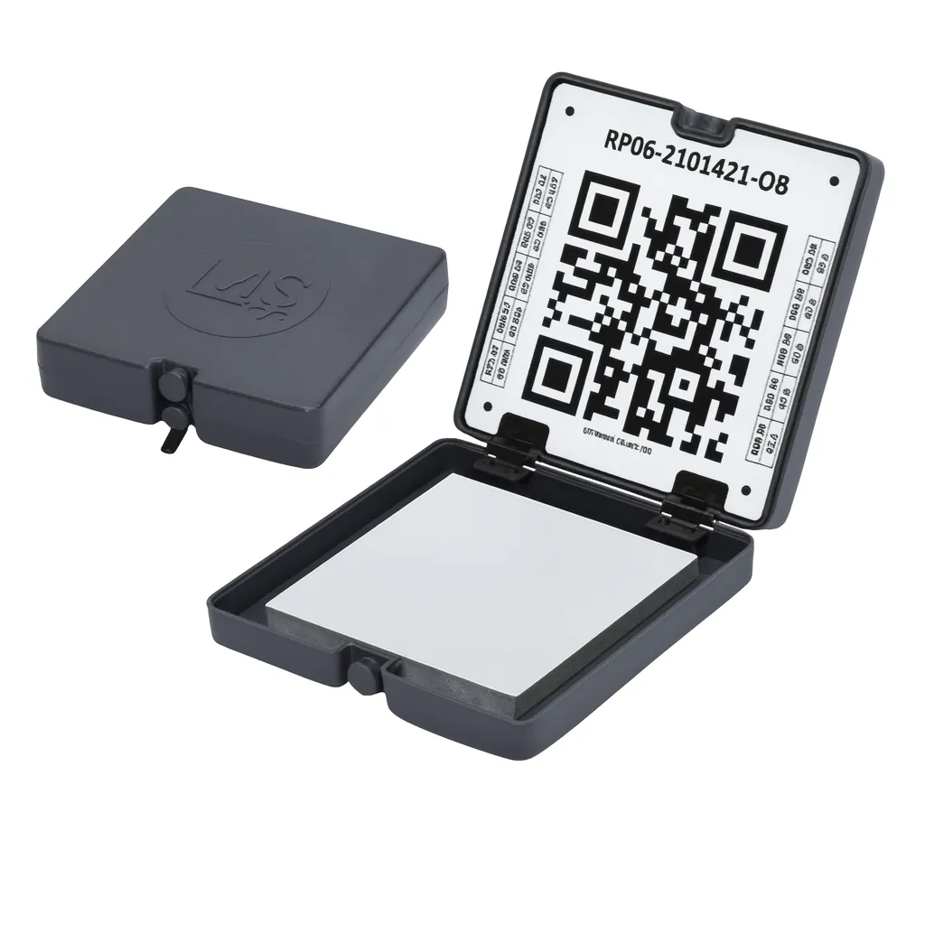
This bundle includes the GNSS module with antenna and a perpetual LiDAR360MLS BP software license, enabling a complete capture-to-processing pipeline.
Designed for enterprise deployment, the system supports multiple operational configurations including handheld, pole-mounted, and wearable setups. It is suited for organizations requiring scalable mapping workflows, from infrastructure documentation to geospatial modeling, where data continuity, accuracy, and processing efficiency are critical.
Product Highlights
- GNSS + MLF-SLAM Integration: High-precision scanning in GPS-compromised areas
- All-in-One Mobile Unit: Combines LiDAR, imaging, and power for handheld use
- Accessory-Ready Design: Compatible with telescopic pole, adapter, and backpack module
- Real-Time LAZ Point Cloud Output: Streamlines data validation and QC in the field
- Lightweight and Ergonomic: Built for mobile data collection on foot
- Colorized Point Clouds with Coordinates: Visually rich and spatially accurate data
- Seamless Software Workflow: Integrates with LiDAR360 and LiDAR360MLS platforms
- Field-Ready Build: Designed for rugged, dynamic, and hard-to-map conditions
Designed for field crews, survey teams, and AEC professionals, it supports RTK-SLAM, PPK-SLAM, and GVI's advanced MLF-SLAM for seamless data capture-even in GPS-denied zones.
Its lightweight form factor, flexible mounting options, and compatibility with LiDAR360 software make it a dependable workhorse for both interior and exterior scanning projects.
Precision Mapping in Any Environment
With integrated GNSS and multi-sensor SLAM technology, the LiGrip O2 Lite excels in environments with limited visual features, such as tunnels, mines, and riversides.
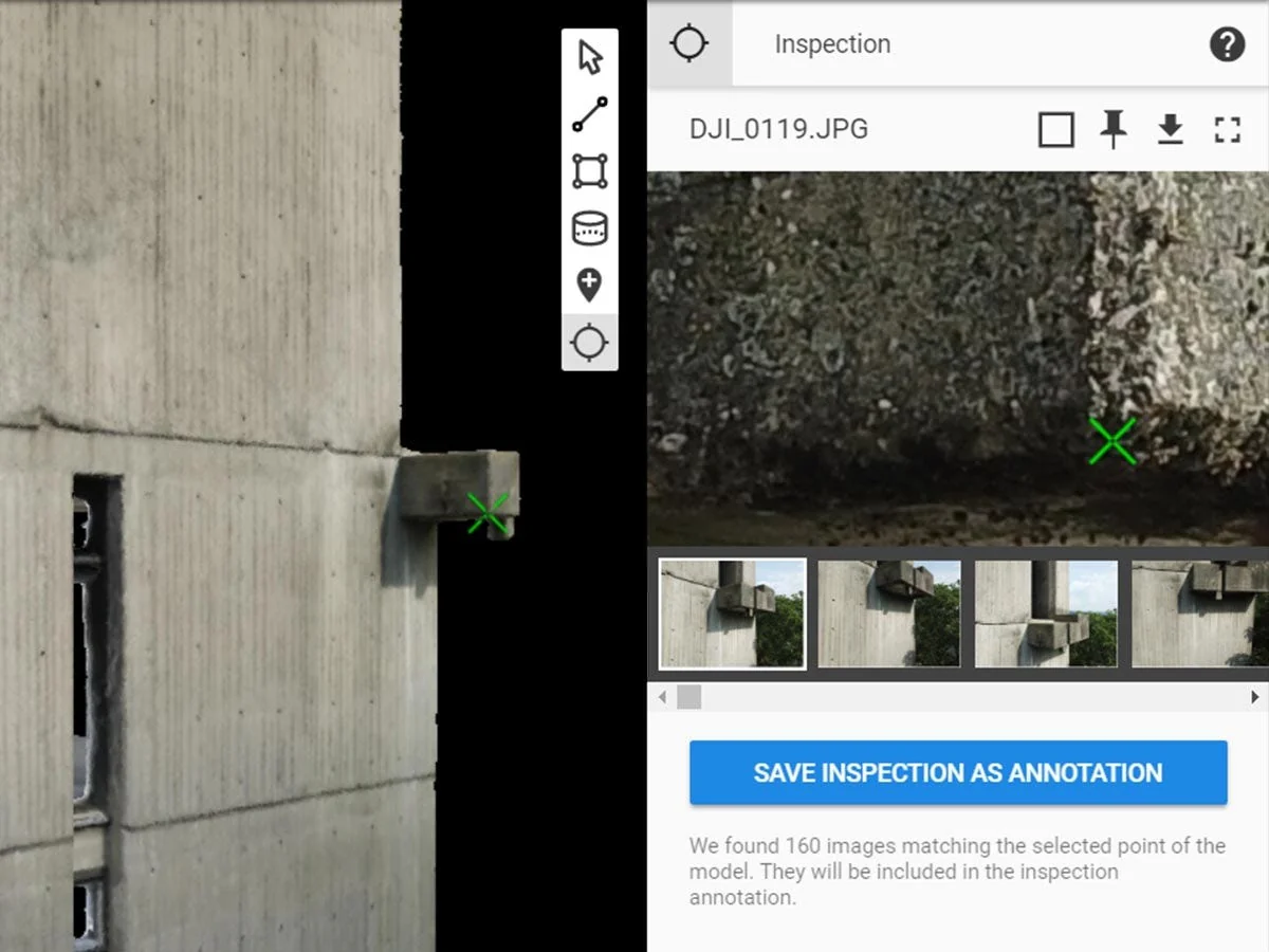
Users can generate real-time, true-color point clouds with absolute geolocation, reducing post-processing time and improving workflow efficiency.
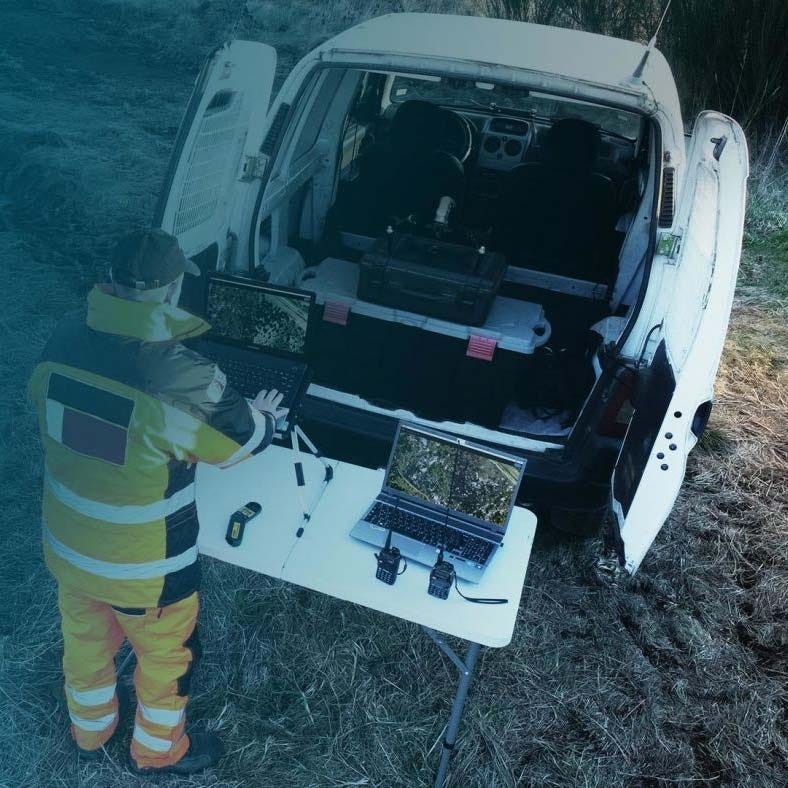
Accessories like telescopic poles and front packs allow teams to adapt to dynamic conditions on-site, whether walking through warehouses or scaling terrain for facade surveys.
Ready-to-Deploy for Professional Workflows
Engineered for fast deployment and minimal setup, the LiGrip O2 Lite delivers actionable data from the field to your desk. When paired with LiDAR360MLS software, users gain a complete mapping pipeline-from scan to model.
Dronefly's personalized consulting ensures your hardware fits your team's specific workflows and project needs, from stockpile management to detailed building documentation.
Applications and Use Cases
- Interior Mapping and Floor Plans: Fast, accurate scans of indoor environments
- Stockpile and Resource Monitoring: Capture volumes with minimal setup
- Construction and Facade Surveys: Document changes with colorized 3D visuals
- Tunnel and Underground Mapping: Navigate and capture in GPS-denied conditions
- Waterfront and Flood Zone Scanning: Map dynamic terrain with precision
- Infrastructure and Asset Inspection: Efficiently scan vertical and linear features
As an authorized dealer for GVI, DJI, and FLIR, Dronefly delivers trusted hardware and software solutions tailored to your workflow.
When you buy from us, you gain a long-term partner dedicated to keeping your operations productive, compliant, and future-ready.
Get in touch to optimize your 3D scanning projects with the LiGrip O2 Lite today.
Product Information
Product Information
Shipping & Returns
Shipping & Returns
Description
Compact SLAM Mapping with GNSS Precision for the Field
The GreenValley LiGrip O2 Lite is a handheld SLAM LiDAR system engineered for integrated 3D data acquisition and processing workflows. Combining multi-sensor SLAM positioning with a high-precision RTK module, it delivers georeferenced point cloud data in real time across both GNSS-available and GNSS-denied environments.
This bundle includes the GNSS module with antenna and a perpetual LiDAR360MLS BP software license, enabling a complete capture-to-processing pipeline.
Designed for enterprise deployment, the system supports multiple operational configurations including handheld, pole-mounted, and wearable setups. It is suited for organizations requiring scalable mapping workflows, from infrastructure documentation to geospatial modeling, where data continuity, accuracy, and processing efficiency are critical.
Product Highlights
- GNSS + MLF-SLAM Integration: High-precision scanning in GPS-compromised areas
- All-in-One Mobile Unit: Combines LiDAR, imaging, and power for handheld use
- Accessory-Ready Design: Compatible with telescopic pole, adapter, and backpack module
- Real-Time LAZ Point Cloud Output: Streamlines data validation and QC in the field
- Lightweight and Ergonomic: Built for mobile data collection on foot
- Colorized Point Clouds with Coordinates: Visually rich and spatially accurate data
- Seamless Software Workflow: Integrates with LiDAR360 and LiDAR360MLS platforms
- Field-Ready Build: Designed for rugged, dynamic, and hard-to-map conditions
Designed for field crews, survey teams, and AEC professionals, it supports RTK-SLAM, PPK-SLAM, and GVI's advanced MLF-SLAM for seamless data capture-even in GPS-denied zones.
Its lightweight form factor, flexible mounting options, and compatibility with LiDAR360 software make it a dependable workhorse for both interior and exterior scanning projects.
Precision Mapping in Any Environment
With integrated GNSS and multi-sensor SLAM technology, the LiGrip O2 Lite excels in environments with limited visual features, such as tunnels, mines, and riversides.
Users can generate real-time, true-color point clouds with absolute geolocation, reducing post-processing time and improving workflow efficiency.
Accessories like telescopic poles and front packs allow teams to adapt to dynamic conditions on-site, whether walking through warehouses or scaling terrain for facade surveys.
Ready-to-Deploy for Professional Workflows
Engineered for fast deployment and minimal setup, the LiGrip O2 Lite delivers actionable data from the field to your desk. When paired with LiDAR360MLS software, users gain a complete mapping pipeline-from scan to model.
Dronefly's personalized consulting ensures your hardware fits your team's specific workflows and project needs, from stockpile management to detailed building documentation.
Applications and Use Cases
- Interior Mapping and Floor Plans: Fast, accurate scans of indoor environments
- Stockpile and Resource Monitoring: Capture volumes with minimal setup
- Construction and Facade Surveys: Document changes with colorized 3D visuals
- Tunnel and Underground Mapping: Navigate and capture in GPS-denied conditions
- Waterfront and Flood Zone Scanning: Map dynamic terrain with precision
- Infrastructure and Asset Inspection: Efficiently scan vertical and linear features
As an authorized dealer for GVI, DJI, and FLIR, Dronefly delivers trusted hardware and software solutions tailored to your workflow.
When you buy from us, you gain a long-term partner dedicated to keeping your operations productive, compliant, and future-ready.
Get in touch to optimize your 3D scanning projects with the LiGrip O2 Lite today.